Chest opened
+${chestReward.xp} XP
Explorer
NOUVEAU ×${chestReward.collectible.quantity}
tapez pour fermer
Chest locked

Open chests in the app

Around Us is built for your phone — chests unlock when you walk, explore and capture nearby places.

Enable Location

We need your location to show you interesting places around you

Discover nearby places

Find interesting locations and hidden gems around you

Precise directions

Get accurate directions and distances to places

Your location is never shared with other users. It's only used when you tap the location button.

La Poudre Pass

Log in to your account

Start exploring — it's free

Trusted by 72,883 travelers worldwide

Continue with Google
Continue with Apple
or

We will send you a code to connect

By continuing, you accept our Terms and Conditions and our Privacy Policy

Check your inbox

We've sent a pincode in your inbox. Please enter the code below.

La Poudre Pass
Discussion Reviews 1 Photos
19.4k Popularity

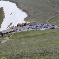
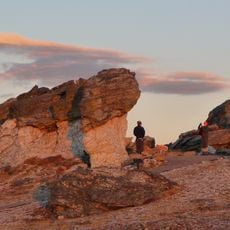
La Poudre Pass, Mountain pass at Continental Divide in Rocky Mountains, Colorado.

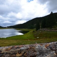
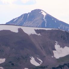
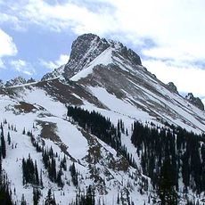
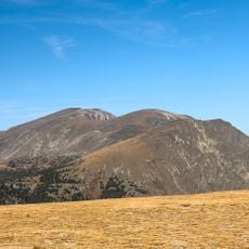
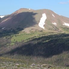
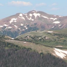
La Poudre Pass is a mountain crossing at the Continental Divide in the Rocky Mountains. The pass sits at about 3,100 meters elevation and contains a small lake that marks the headwaters of the Colorado River.

French fur trappers working in the region named the nearby Cache La Poudre River after their practice of storing gunpowder along its banks. These early explorations shaped the area's history and left their mark on local place names.

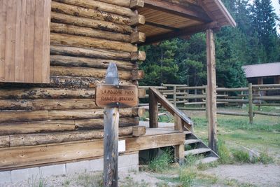
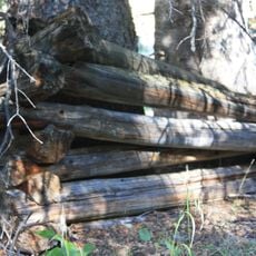
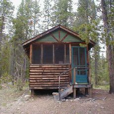
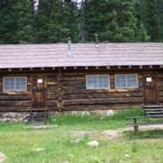
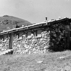
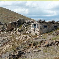
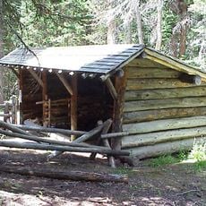
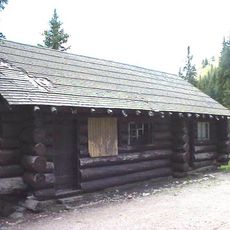
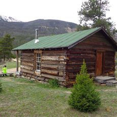
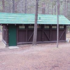
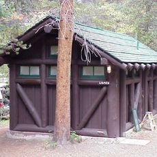
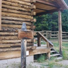
The ranger station at La Poudre Pass serves as an entry point to Rocky Mountain National Park, marking the boundary between Grand and Larimer counties.

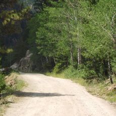
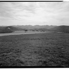
Long Draw Road leads to the trailhead parking area and is typically open from late May through mid-October. The lot fills early on nice days, so arriving early helps secure a spot.

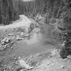
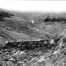
The pass features a broad, flat, swampy region where the Colorado River begins as a small stream emerging from an alpine meadow. This wet meadow is where one of North America's major rivers has its quiet start.

The community of curious travelers

AroundUs brings together thousands of curated places, local tips, and hidden gems, enriched daily by 60,000 contributors worldwide.

Start exploring
Location
GPS coordinates
40.47667,-105.82333
Latest update
December 7, 2025 10:07
Around this place
Grand Ditch
United States of America

Grand Ditch

3 km
Alpine Visitor Center
United States of America

Alpine Visitor Center

7.1 km
Fall River Road
United States of America

Fall River Road

10.8 km
Lulu City
United States of America

Lulu City

4 km
Milner Pass
United States of America

Milner Pass

6.4 km
Mount Richthofen
United States of America

Mount Richthofen

6.1 km
Nokhu Crags
United States of America

Nokhu Crags

6 km
Holzwarth Historic District
United States of America

Holzwarth Historic District

12 km
Mount Chiquita
United States of America

Mount Chiquita

12 km
Specimen Mountain
United States of America

Specimen Mountain

3.8 km
Iron Mountain
United States of America

Iron Mountain

4.2 km
United States of America

Braddock Peak

7.6 km
Fall River Pump House and Catchment Basin
United States of America

Fall River Pump House and Catchment Basin

7.8 km
Willow Park Patrol Cabin
United States of America

Willow Park Patrol Cabin

9 km
Timberline Cabin
United States of America

Timberline Cabin

7.8 km
Timber Creek Campground Comfort Stations
United States of America

Timber Creek Campground Comfort Stations

11 km
Fall River Pass Ranger Station
United States of America

Fall River Pass Ranger Station

7 km
Willow Park Stable
United States of America

Willow Park Stable

9 km
Milner Pass Road Camp Mess Hall and House
United States of America

Milner Pass Road Camp Mess Hall and House

7 km
Fleshut Cabin
United States of America

Fleshut Cabin

11.9 km
Timber Creek Campground Comfort Station No. 247
United States of America

Timber Creek Campground Comfort Station No. 247

11.3 km
Timber Creek Campground Comfort Station No. 245
United States of America

Timber Creek Campground Comfort Station No. 245

11.1 km
Timber Creek Campground Comfort Station No. 246
United States of America

Timber Creek Campground Comfort Station No. 246

11.1 km
Fall River Pass Historic District
United States of America

Fall River Pass Historic District

7 km
Alpine Ridge Trail
United States of America

Alpine Ridge Trail

7.1 km
Tundra Communities Trail
United States of America

Tundra Communities Trail

10.8 km
La Poudre Pass Ranger Station
United States of America

La Poudre Pass Ranger Station

241 m
Gore Range Overlook
United States of America

Gore Range Overlook

6.8 km
Show the full map
Reviews
Share your experience

No review yet

Discussions
Start a discussion...

No discussion yet

« La Poudre Pass - Mountain pass at Continental Divide in Rocky Mountains, Colorado » is provided by Around Us (aroundus.com). Images and texts are derived from Wikimedia project under a Creative Commons license. You are allowed to copy, distribute, and modify copies of this page, under the conditions set by the license, as long as this note is clearly visible.

Discover hidden gems everywhere you go!

From secret cafés to breathtaking viewpoints, skip the crowded tourist spots and find places that match your style. Our app makes it easy with voice search, smart filtering, route optimization, and insider tips from travelers worldwide. Download now for the complete mobile experience.

Around Us App Screenshot

A unique approach to discovering new places

Le Figaro

All the places worth exploring

France Info

A tailor-made excursion in just a few clicks

20 Minutes

Around Us
Travel Guide & Maps
Download

Send to your phone

QR Code
1

Open the camera app on your mobile.

2

Point at the QR code with your camera. A notification will appear.

3

Tap the notification to open the link.