Limon, Transportation hub in Lincoln County, Colorado, United States
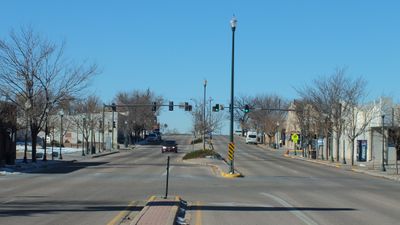
Limon is a town in Lincoln County, Colorado, situated at the intersection of multiple major highways that cross the eastern plains. Interstate 70 and U.S. Highways 24, 40, and 287 converge near this location, creating a natural passing point for travelers moving between different parts of the state.
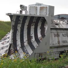
The town emerged in the late 1800s when the Kansas Pacific Railroad arrived in 1870, establishing a rail junction that shaped early growth. This connection attracted settlers and businesses seeking advantages from the transportation routes.
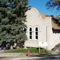
The Heritage Museum displays exhibits about the town's past and invites visitors to explore what shaped the region. Local residents value these collections as connections to their community's roots.
The town has a municipal airport for regional air travel and a community college offering educational programs for various students. The location on major highways makes it easy to reach and convenient as a stopping point for longer trips.
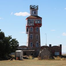
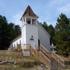
The 1910 depot building is listed in the National Register of Historic Places and displays architecture from the early railroad era. This structure represents a rare surviving example of early railway station design that has disappeared from many small towns.
The community of curious travelers
AroundUs brings together thousands of curated places, local tips, and hidden gems, enriched daily by 60,000 contributors worldwide.