Chest opened
+${chestReward.xp} XP
Explorer
NOUVEAU ×${chestReward.collectible.quantity}
tapez pour fermer
Chest locked

Open chests in the app

Around Us is built for your phone — chests unlock when you walk, explore and capture nearby places.

Enable Location

We need your location to show you interesting places around you

Discover nearby places

Find interesting locations and hidden gems around you

Precise directions

Get accurate directions and distances to places

Your location is never shared with other users. It's only used when you tap the location button.

Log in to your account

Start exploring — it's free

Trusted by 72,886 travelers worldwide

Continue with Google
Continue with Apple
or

We will send you a code to connect

By continuing, you accept our Terms and Conditions and our Privacy Policy

Check your inbox

We've sent a pincode in your inbox. Please enter the code below.

Discussion Reviews Photo
1.3k Popularity

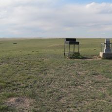
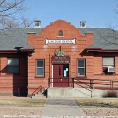
Platte County, Former county in Colorado Territory, United States

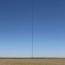
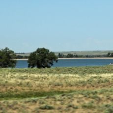
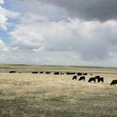
Platte County was an administrative division in Colorado Territory that covered the eastern portion of what is now Weld County. The territory encompassed lands in the eastern region around coordinates 40°30'N and 104°0'W.

The Colorado General Assembly established Platte County on February 9, 1872, as part of administrative restructuring in the developing western territories. After only two years, in 1874, the territory was reincorporated into Weld County due to lack of voter support for its continuation.

The creation of Platte County represented broader efforts to establish structured governance systems during the western expansion of the United States.

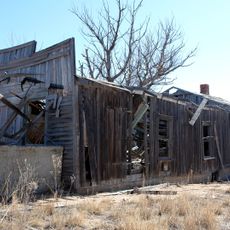
This historical territory exists today only in historical records since it was dissolved 150 years ago. Visitors interested in local history can research historical sources to learn more about the brief existence of this administrative division.

The territory shares its name with existing counties in Missouri, Nebraska, and Wyoming, but this Colorado version was the shortest-lived of all four. It lasted less than two years before dissolving back into territorial boundaries and fading from local consciousness.

The community of curious travelers

AroundUs brings together thousands of curated places, local tips, and hidden gems, enriched daily by 60,000 contributors worldwide.

Start exploring
GPS coordinates
40.50000,-104.00000
Latest update
March 5, 2026 18:17
Around this place
Panorama Point
United States of America

Panorama Point

56.6 km
Dearfield
United States of America

Dearfield

32.1 km
Pawnee Buttes
United States of America

Pawnee Buttes

36.1 km
Nottingham Field
United States of America

Nottingham Field

60.7 km
Hoyt Radio Tower
United States of America

Hoyt Radio Tower

64.3 km
Prewitt Reservoir
United States of America

Prewitt Reservoir

54.7 km
Weld County Courthouse
United States of America

Weld County Courthouse

59.3 km
SLW Ranch
United States of America

SLW Ranch

42.8 km
Central Plains
United States of America

Central Plains

38.1 km
St. Anthony's Roman Catholic Church
United States of America

St. Anthony's Roman Catholic Church

68.1 km
First Baptist Church
United States of America

First Baptist Church

59.4 km
Sterling Public Library
United States of America

Sterling Public Library

68.2 km
All Saints Church of Eben Ezer
United States of America

All Saints Church of Eben Ezer

40.8 km
Fort Morgan State Armory
United States of America

Fort Morgan State Armory

32.3 km
First United Presbyterian Church
United States of America

First United Presbyterian Church

68.2 km
Greeley Masonic Temple
United States of America

Greeley Masonic Temple

59.4 km
German Evangelical Immanuel Congregational Church
United States of America

German Evangelical Immanuel Congregational Church

41.9 km
Conrad Luft Sr. House
United States of America

Conrad Luft Sr. House

66.2 km
Greeley Tribune Building
United States of America

Greeley Tribune Building

59 km
Meeker Memorial Museum
United States of America

Meeker Memorial Museum

59.3 km
Amanda K. Alger Memorial Methodist Episcopal Church
United States of America

Amanda K. Alger Memorial Methodist Episcopal Church

60.5 km
Knearl School
United States of America

Knearl School

42.3 km
Old Trail School
United States of America

Old Trail School

31.1 km
Glazier House
United States of America

Glazier House

59.5 km
Lincoln School
United States of America

Lincoln School

31.8 km
Joseph A. Woodbury House
United States of America

Joseph A. Woodbury House

59.6 km
Gray Hall
United States of America

Gray Hall

59.5 km
Nettleton-Mead House
United States of America

Nettleton-Mead House

59.3 km
Show the full map
Reviews
Share your experience

No review yet

Discussions
Start a discussion...

No discussion yet

« Platte County - Former county in Colorado Territory, United States » is provided by Around Us (aroundus.com). Images and texts are derived from Wikimedia project under a Creative Commons license. You are allowed to copy, distribute, and modify copies of this page, under the conditions set by the license, as long as this note is clearly visible.

Discover hidden gems everywhere you go!

From secret cafés to breathtaking viewpoints, skip the crowded tourist spots and find places that match your style. Our app makes it easy with voice search, smart filtering, route optimization, and insider tips from travelers worldwide. Download now for the complete mobile experience.

Around Us App Screenshot

A unique approach to discovering new places

Le Figaro

All the places worth exploring

France Info

A tailor-made excursion in just a few clicks

20 Minutes

Around Us
Travel Guide & Maps
Download

Send to your phone

QR Code
1

Open the camera app on your mobile.

2

Point at the QR code with your camera. A notification will appear.

3

Tap the notification to open the link.