Chest opened
+${chestReward.xp} XP
Explorer
NOUVEAU ×${chestReward.collectible.quantity}
tapez pour fermer

See the monuments around you in AR Open chests in the app

Around Us is built for your phone — point your camera at the streets and discover the monuments and places around you in augmented reality. Around Us is built for your phone — chests unlock when you walk, explore and capture nearby places.

Enable Location

We need your location to show you interesting places around you

Discover nearby places

Find interesting locations and hidden gems around you

Precise directions

Get accurate directions and distances to places

Your location is never shared with other users. It's only used when you tap the location button.

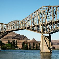
Joso High Bridge

Log in to your account

Start exploring — it's free

Trusted by 85,369 travelers worldwide

Continue with Google
Continue with Apple
or

We will send you a code to connect

By continuing, you accept our Terms and Conditions and our Privacy Policy

Check your inbox

We've sent a pincode in your inbox. Please enter the code below.

Discussion Reviews 1 Photos
1.4k Popularity

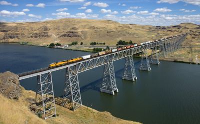
Joso High Bridge, Railway bridge in Starbuck, US.

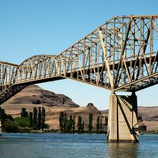
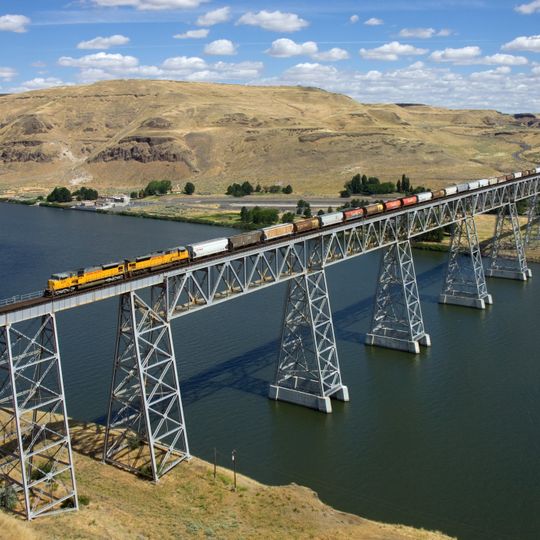
Joso High Bridge is a steel railway trestle spanning the Snake River Canyon near Starbuck. The structure carries trains across the deep gorge with a series of metal spans positioned high above the river.

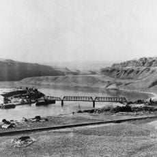
The bridge was built between 1910 and 1912 to create an important railway connection in the region. The construction was a major engineering undertaking that shortened freight and passenger routes across the Pacific Northwest.

The structure received its name from Leon F. Jaussaud, a local resident whose surname was simplified to Joso for easier pronunciation.

The bridge is part of an active Union Pacific Railroad line and carries regular train traffic, but pedestrian access across the structure is not permitted. The best views are from nearby roads and pathways that run along the canyon rim.

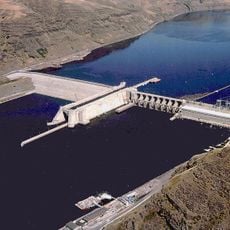
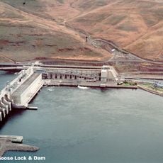
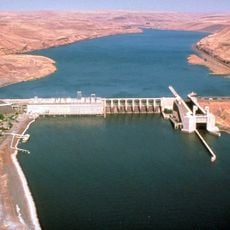
The construction of a dam in 1968 permanently altered the bridge's surroundings when rising water submerged the lower piers. This shift in the natural landscape is visible in the reduced clearance between the structure and the river surface.

The community of curious travelers

AroundUs brings together thousands of curated places, local tips, and hidden gems, enriched daily by 60,000 contributors worldwide.
Start exploring
Location
Inception
1912
GPS coordinates
46.59372,-118.22833
Latest update
August 30, 2026 18:44
Around this place
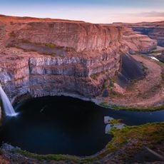
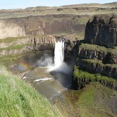
Palouse Falls
United States of America

Palouse Falls

4.8 mi
Marmes Rockshelter
United States of America

Marmes Rockshelter

1.9 mi
Fort Walla Walla
United States of America

Fort Walla Walla

38.3 mi
Palouse Falls State Park
United States of America

Palouse Falls State Park

4.9 mi
Ice Harbor Dam
United States of America

Ice Harbor Dam

39.1 mi
Lower Granite Dam
United States of America

Lower Granite Dam

38.3 mi
Columbia Plateau State Park Trail
United States of America

Columbia Plateau State Park Trail

15.9 mi
Little Goose Dam
United States of America

Little Goose Dam

9.6 mi
Juniper Dunes Wilderness
United States of America

Juniper Dunes Wilderness

33 mi
Lower Monumental Dam
United States of America

Lower Monumental Dam

14.8 mi
Snake River Bridge
United States of America

Snake River Bridge

0.5 mi
Borleske Stadium
United States of America

Borleske Stadium

36.1 mi
Kirkman House
United States of America

Kirkman House

36.6 mi
Riparia Bridge
United States of America

Riparia Bridge

6.7 mi
Electric Light Works Building
United States of America

Electric Light Works Building

36.9 mi
Dr. Frank R. Burroughs House
United States of America

Dr. Frank R. Burroughs House

37.4 mi
Nelson H. Greene House
United States of America

Nelson H. Greene House

37.3 mi
Ritzville Historic District
United States of America

Ritzville Historic District

37.6 mi
Garfield County Courthouse
United States of America

Garfield County Courthouse

31 mi
Ritzville Carnegie Library
United States of America

Ritzville Carnegie Library

37.5 mi
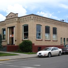
Bank of Starbuck
United States of America

Bank of Starbuck

7.1 mi
Preston Hall
United States of America

Preston Hall

22.9 mi
Lyons Ferry State Park
United States of America

Lyons Ferry State Park

2.3 mi
Seivers Brothers Ranchhouse and Barn
United States of America

Seivers Brothers Ranchhouse and Barn

25.7 mi
Walla Walla Valley Traction Company Car Barn
United States of America

Walla Walla Valley Traction Company Car Barn

36.9 mi
Children's Museum of Walla Walla
United States of America

Children's Museum of Walla Walla

37.8 mi
Liberty Theatre
United States of America

Liberty Theatre

36.8 mi
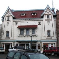
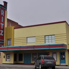
Ritz Theatre
United States of America

Ritz Theatre

37.6 mi
Show the full map
Reviews
Share your experience

No review yet

Discussions
Start a discussion...

No discussion yet

« Joso High Bridge - Railway bridge in Starbuck, US » is provided by Around Us (aroundus.com). Images and texts are derived from Wikimedia project under a Creative Commons license. You are allowed to copy, distribute, and modify copies of this page, under the conditions set by the license, as long as this note is clearly visible.

Discover hidden gems everywhere you go!

From secret cafés to breathtaking viewpoints, skip the crowded tourist spots and find places that match your style. Our app makes it easy with voice search, smart filtering, route optimization, and insider tips from travelers worldwide. Download now for the complete mobile experience.
Around Us App Screenshot

A unique approach to discovering new places

Le Figaro

All the places worth exploring

France Info

A tailor-made excursion in just a few clicks

20 Minutes

Around Us
Travel Guide & Maps
Download

Send to your phone

QR Code
1

Open the camera app on your mobile.

2

Point at the QR code with your camera. A notification will appear.

3

Tap the notification to open the link.