Columbia Plateau State Park Trail, Rail trail in Eastern Washington, United States.
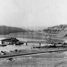
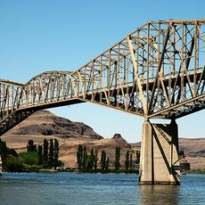
The Columbia Plateau State Park Trail is a 130-mile, 20-foot-wide corridor along the abandoned Spokane, Portland and Seattle Railway right-of-way, running from Cheney to the Snake and Columbia confluence at Pasco through five southeastern Washington counties. It is mostly gravel, with a 3.75-mile paved stretch between the Cheney and Fish Lake trailheads.
The rail bed was built by the Spokane, Portland and Seattle Railway in the early 1900s. Its successor, Burlington Northern, abandoned the line in 1987, and in 1991 Washington acquired 130 miles of right-of-way from milepost 235.0 near East Pasco to milepost 365.0 near South Cheney. State park management began in 1992.
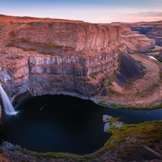
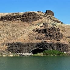
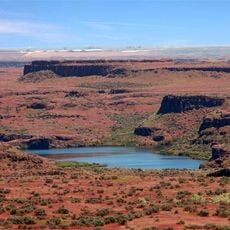
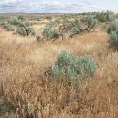
The trail bisects the Turnbull National Wildlife Refuge, about 16,000 acres of channeled scablands where erosion potholes have formed over 130 marshes, wetlands and lakes. More than 200 bird species have been recorded there, along with elk, mule deer, white-tailed deer, coyotes, badgers, porcupines, muskrats and beavers.
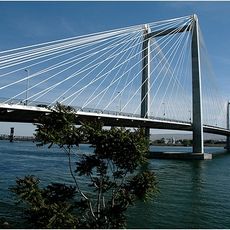
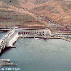
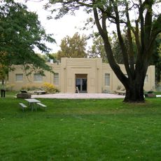
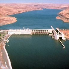
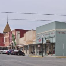
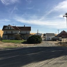
The trail runs from the Fish Lake trailhead near Cheney southwest to Sacajawea State Park at Pasco, with major access points at Cheney, Amber Lake, Martin Road, Lamont, Benge, Washtucna, Kahlotus, Snake River Junction and Ice Harbor Dam. Only the 3.75 miles between the Cheney and Fish Lake trailheads are paved; the rest is gravel. Kahlotus has a trailhead and visitor center.
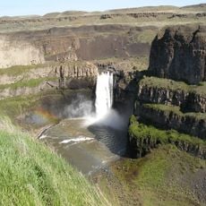
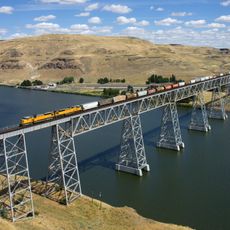
The trail's most visible railway remnant is the Burr Canyon Trestle, built in 1908 and still standing along the route. The corridor also follows a path carved by the Pleistocene Missoula Floods, passing Washtucna Coulee, the abandoned course of the Palouse River, and Devil's Canyon, a dry 4-mile former flood channel.
The community of curious travelers
AroundUs brings together thousands of curated places, local tips, and hidden gems, enriched daily by 94,501 contributors worldwide.