Enable Location

We need your location to show you interesting places around you

Discover nearby places

Find interesting locations and hidden gems around you

Precise directions

Get accurate directions and distances to places

Your location is never shared with other users. It's only used when you tap the location button.

Adams County

Log in to your account

Start exploring — it's free

Trusted by 61,553 travelers worldwide

Continue with Google
Continue with Apple
or

We will send you a code to connect

By continuing, you accept our Terms and Conditions and our Privacy Policy

Check your inbox

We've sent a pincode in your inbox. Please enter the code below.

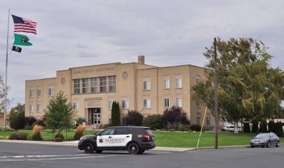
Adams County, Administrative division in Washington, United States.

Description

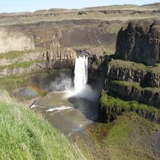
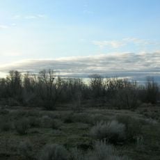
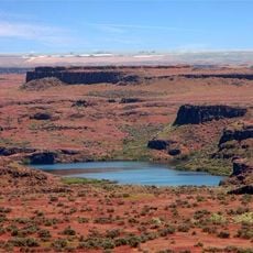
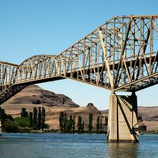
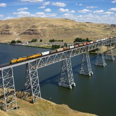
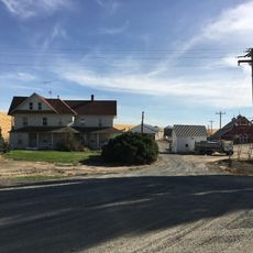
Adams County is an administrative division in eastern Washington that spreads across agricultural lands and small communities. The area sits between the Columbia Basin and Snake River regions, connecting diverse geographic zones.

History

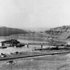
The Washington State Legislature created this administrative division in 1883, naming it after the second U.S. president, John Adams. This naming choice reflected historical connections to early American leadership.

Culture

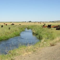
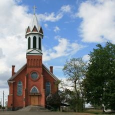
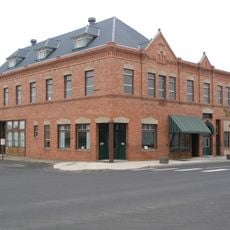
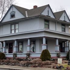
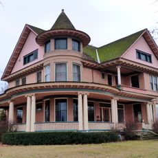
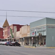
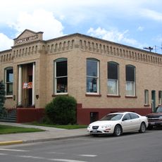
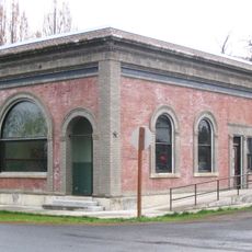
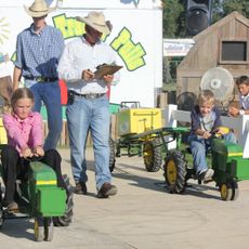
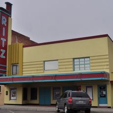
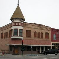
Agriculture shapes daily life and community identity here, with wheat farming and rural traditions deeply woven into how people organize their time and spaces. Visitors can observe this agricultural focus directly in the landscape and the character of the towns.

Practical

Exploring the area works best with a personal vehicle, as communities are spread out and public transportation is limited. Roads are well-maintained and information is readily available through county administrative resources online.

Did you know?

The region hosts specialized research stations working on developing drought-resistant wheat varieties for the Pacific Northwest. This research contributes to new farming methods that adapt to dry conditions.

Location
Inception
1883
Capital city
Ritzville
Shares border with
Lincoln County, Whitman County, Franklin County, Grant County
GPS coordinates
46.99000,-118.56000
Latest update
December 7, 2025 10:06

AroundUs brings together thousands of curated places, local tips, and hidden gems, enriched daily by 60,000 contributors worldwide. Discover all places nearby (Washington).

Around this place
Palouse Falls
United States of America

Palouse Falls

44.5 km
Marmes Rockshelter
United States of America

Marmes Rockshelter

49.9 km
Moses Lake
United States of America

Moses Lake

61.5 km
Palouse Falls State Park
United States of America

Palouse Falls State Park

44.1 km
Potholes State Park
United States of America

Potholes State Park

60.1 km
Potholes Reservoir
United States of America

Potholes Reservoir

55.5 km
Drumheller Channels National Natural Landmark
United States of America

Drumheller Channels National Natural Landmark

48.3 km
Crab Creek
United States of America

Crab Creek

40.3 km
Columbia Plateau State Park Trail
United States of America

Columbia Plateau State Park Trail

38.4 km
Abraham Lincoln
United States of America

Abraham Lincoln

40.9 km
Little Goose Dam
United States of America

Little Goose Dam

60.5 km
Lower Monumental Dam
United States of America

Lower Monumental Dam

47.6 km
Snake River Bridge
United States of America

Snake River Bridge

51.6 km
Mary Queen of Heaven Roman Catholic Church
United States of America

Mary Queen of Heaven Roman Catholic Church

56.3 km
Joso High Bridge
United States of America

Joso High Bridge

50.8 km
Riparia Bridge
United States of America

Riparia Bridge

58.5 km
Harrington Bank Block & Opera House
United States of America

Harrington Bank Block & Opera House

59.2 km
Dr. Frank R. Burroughs House
United States of America

Dr. Frank R. Burroughs House

20.1 km
Nelson H. Greene House
United States of America

Nelson H. Greene House

20.4 km
Ritzville Historic District
United States of America

Ritzville Historic District

20.5 km
Ritzville Carnegie Library
United States of America

Ritzville Carnegie Library

20.3 km
Bank of Starbuck
United States of America

Bank of Starbuck

61.9 km
Grant County Fairgrounds
United States of America

Grant County Fairgrounds

59.1 km
Lyons Ferry State Park
United States of America

Lyons Ferry State Park

48.6 km
Skydive West Plains
United States of America

Skydive West Plains

27.9 km
Seivers Brothers Ranchhouse and Barn
United States of America

Seivers Brothers Ranchhouse and Barn

9.5 km
Moses Lake Museum & Art Center
United States of America

Moses Lake Museum & Art Center

56.4 km
Ritz Theatre
United States of America

Ritz Theatre

20.5 km
Show the full map
Administrative divisions
« Adams County - Administrative division in Washington, United States » is provided by Around Us (aroundus.com). Images and texts are derived from Wikimedia project under a Creative Commons license. You are allowed to copy, distribute, and modify copies of this page, under the conditions set by the license, as long as this note is clearly visible.

Discover hidden gems everywhere you go!

From secret cafés to breathtaking viewpoints, skip the crowded tourist spots and find places that match your style. Our app makes it easy with voice search, smart filtering, route optimization, and insider tips from travelers worldwide. Download now for the complete mobile experience.

Around Us App Screenshot

A unique approach to discovering new places

Le Figaro

All the places worth exploring

France Info

A tailor-made excursion in just a few clicks

20 Minutes

Around Us
Travel Guide & Maps
Download

Send to your phone

QR Code
1

Open the camera app on your mobile.

2

Point at the QR code with your camera. A notification will appear.

3

Tap the notification to open the link.