Enable Location

We need your location to show you interesting places around you

Discover nearby places

Find interesting locations and hidden gems around you

Precise directions

Get accurate directions and distances to places

Your location is never shared with other users. It's only used when you tap the location button.

Missoula County

Log in to your account

Start exploring — it's free

Trusted by 61,334 travelers worldwide

Continue with Google
Continue with Apple
or

We will send you a code to connect

By continuing, you accept our Terms and Conditions and our Privacy Policy

Check your inbox

We've sent a pincode in your inbox. Please enter the code below.

Missoula County

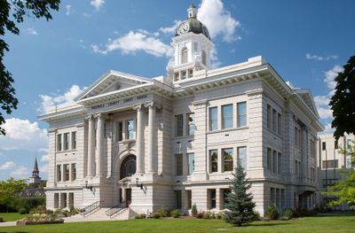
Missoula County, Administrative county in western Montana, United States

Description

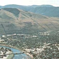
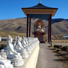
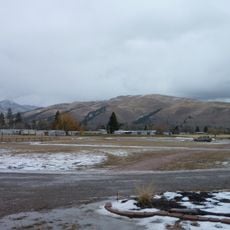
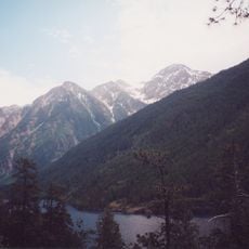
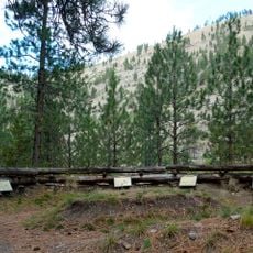
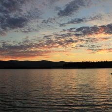
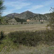
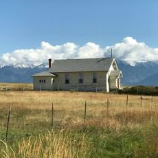
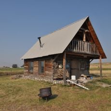
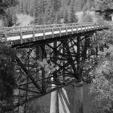
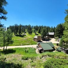
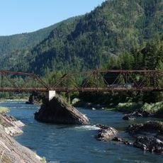
Missoula County is an administrative county in western Montana featuring mountainous terrain with five large valleys and two major rivers running through it. The landscape supports diverse ecosystems of the northern Rocky Mountains across its varied terrain.

History

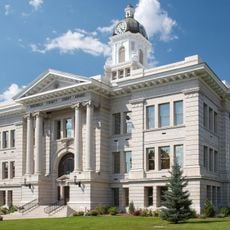
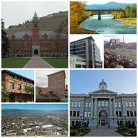
The county was established in 1864 and initially covered a much larger area than today, including what are now separate counties. Hell Gate served as its first county seat before Missoula became the regional center.

Culture

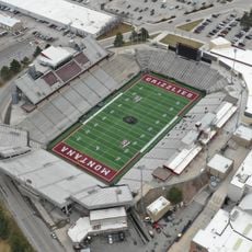
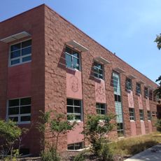
The University of Montana shapes the county's character and brings students from across the region to its campus. This educational institution influences how the community develops and what activities are available.

Practical

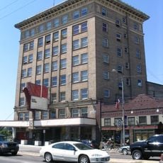
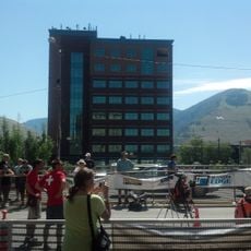
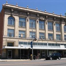
Missoula in the county center connects well to major routes and serves as a base for exploring the region. You can navigate easily from this town to reach different areas and attractions throughout the county.

Did you know?

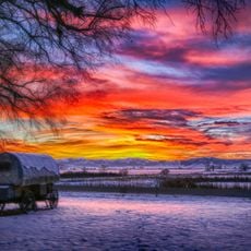
The county experiences colder winters than many other Montana regions because of its western location in the mountains. This geographic feature shapes the plants, animals, and seasonal patterns that visitors encounter throughout the year.

Location
Inception
1864
Capital city
Missoula
Shares border with
Lake County, Granite County, Ravalli County, Mineral County, Sanders County, Flathead County, Powell County, Idaho County, Clearwater County
GPS coordinates
47.04000,-113.93000
Latest update
December 14, 2025 20:27

AroundUs brings together thousands of curated places, local tips, and hidden gems, enriched daily by 60,000 contributors worldwide. Discover all places nearby (Montana).

Around this place
Lake Missoula
United States of America

Lake Missoula

19.8 km
Washington–Grizzly Stadium
United States of America

Washington–Grizzly Stadium

20 km
CSKT Bison Range
United States of America

CSKT Bison Range

38 km
The Garden of One Thousand Buddhas
United States of America

The Garden of One Thousand Buddhas

20.8 km
Traveler's Rest
United States of America

Traveler's Rest

35.4 km
Wilma Theater
United States of America

Wilma Theater

19.7 km
McDonald Peak
United States of America

McDonald Peak

38.2 km
Fort Fizzle
United States of America

Fort Fizzle

38.3 km
Ninepipe National Wildlife Refuge
United States of America

Ninepipe National Wildlife Refuge

47 km
Placid Lake State Park
United States of America

Placid Lake State Park

33.6 km
Missoula Public Library
United States of America

Missoula Public Library

19.5 km
Beavertail Hill State Park
United States of America

Beavertail Hill State Park

44.6 km
United States of America

Council Grove State Park

22.2 km
The Payne Family Native American Center
United States of America

The Payne Family Native American Center

20.5 km
CSKT Bison Range
United States of America

CSKT Bison Range

44.3 km
KettleHouse Amphitheater
United States of America

KettleHouse Amphitheater

19 km
Millennium Building
United States of America

Millennium Building

19.6 km
St. Joseph's Catholic Church
United States of America

St. Joseph's Catholic Church

43.3 km
Fort Connah Site
United States of America

Fort Connah Site

42.4 km
Missoula County Courthouse
United States of America

Missoula County Courthouse

19.2 km
Scenic Bridge
United States of America

Scenic Bridge

35.1 km
Brinks House
United States of America

Brinks House

41.8 km
Garnet Ghost Town
United States of America

Garnet Ghost Town

50.9 km
Masonic Lodge
United States of America

Masonic Lodge

19.3 km
Milltown State Park
United States of America

Milltown State Park

18.9 km
Alberton School
United States of America

Alberton School

42.1 km
Natural Pier Bridge
United States of America

Natural Pier Bridge

44 km
Don E. Olsson House and Garage
United States of America

Don E. Olsson House and Garage

55.8 km
Show the full map
Administrative divisions
« Missoula County - Administrative county in western Montana, United States » is provided by Around Us (aroundus.com). Images and texts are derived from Wikimedia project under a Creative Commons license. You are allowed to copy, distribute, and modify copies of this page, under the conditions set by the license, as long as this note is clearly visible.

Discover hidden gems everywhere you go!

From secret cafés to breathtaking viewpoints, skip the crowded tourist spots and find places that match your style. Our app makes it easy with voice search, smart filtering, route optimization, and insider tips from travelers worldwide. Download now for the complete mobile experience.

Around Us App Screenshot

A unique approach to discovering new places

Le Figaro

All the places worth exploring

France Info

A tailor-made excursion in just a few clicks

20 Minutes

Around Us
Travel Guide & Maps
Download

Send to your phone

QR Code
1

Open the camera app on your mobile.

2

Point at the QR code with your camera. A notification will appear.

3

Tap the notification to open the link.