Mount Jefferson, Mountain summit in Madison County, Montana
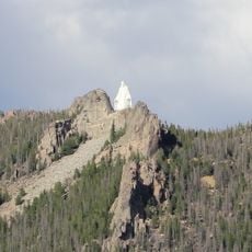
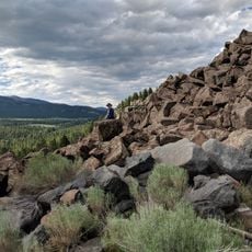
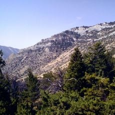
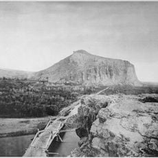
Mount Jefferson is the 10,513-foot southern of two adjacent summits in the Tobacco Root Mountains, within Beaverhead-Deerlodge National Forest. Most of it is underlain by the Tobacco Root Batholith, a granite body intruded about 75 million years ago, with patches of Archean metamorphic rock. The JEFFERSON triangulation station sits on this southern peak, while the taller Hollowtop Mountain rises less than 0.75 miles to the north.
The mountain was named after Thomas Jefferson, the third US president, though it underwent multiple name changes during geological surveys of the region. This naming reflects the 19th-century exploration and mapping of the American West.
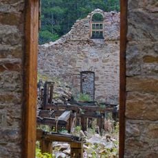
The Mammoth Mine, north of the Jefferson-Hollowtop pair, yielded more than $2 million in gold, mostly between the 1880s and 1910s. The Nicholson Gold Mine on Mount Jefferson's west flank was still active in the mid-1990s, though it reported no production; its site is a private patented mining claim.
Hikers can reach the summit using established trails in the Tobacco Root range, with access points near the towns of Pony and Harrison. The warmer months offer the best conditions for hiking, when the trails are clear and most passable.
The Nicholson Gold Mine on the western slope operated for over a century before ceasing activity in the mid-1990s. This extended history of mining left marks on the landscape and shaped the region's development.
The community of curious travelers
AroundUs brings together thousands of curated places, local tips, and hidden gems, enriched daily by 94,841 contributors worldwide.