Enable Location

We need your location to show you interesting places around you

Discover nearby places

Find interesting locations and hidden gems around you

Precise directions

Get accurate directions and distances to places

Your location is never shared with other users. It's only used when you tap the location button.

Lewis and Clark County

Log in to your account

Start exploring — it's free

Trusted by 63,368 travelers worldwide

Continue with Google
Continue with Apple
or

We will send you a code to connect

By continuing, you accept our Terms and Conditions and our Privacy Policy

Check your inbox

We've sent a pincode in your inbox. Please enter the code below.

Discussion Reviews 1 Photos
29.3k Popularity

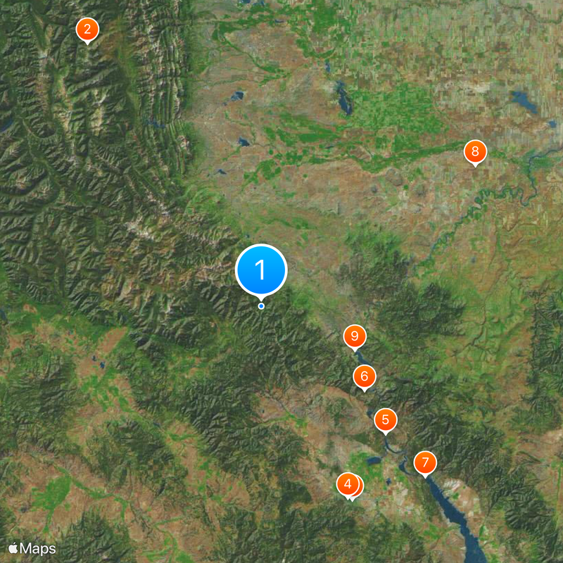
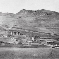
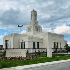
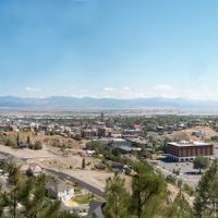
Lewis and Clark County, County seat with capital Helena in Montana, US

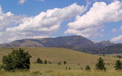
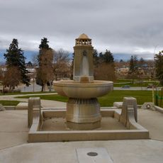
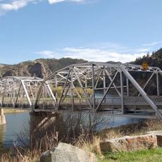
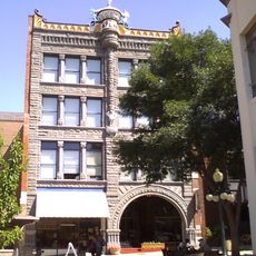
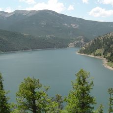
Lewis and Clark County is an administrative division in Montana encompassing a mix of settled communities and open land across rolling terrain. The region includes the state capital Helena along with smaller towns and rural areas.

The territory was originally established in 1865 as Edgerton County and renamed in 1868 to honor the exploration journey of Meriwether Lewis and William Clark. The name change reflected the region's connection to this important expedition.

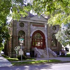
The county maintains multiple educational institutions, public libraries, and community centers that serve its population of over 70,000 residents through various programs.

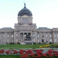
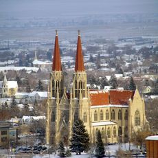
The administrative center in Helena offers services such as vehicle registration, property tax matters, and public facilities for visitors and residents. Most government services are concentrated in the county seat.

All license plates issued here display the number 5, immediately identifying vehicles registered in this county. This marking system makes them instantly recognizable among other Montana vehicles.

The community of curious travelers

AroundUs brings together thousands of curated places, local tips, and hidden gems, enriched daily by 60,000 contributors worldwide.

Start exploring
Location
Inception
1865
Capital city
Helena
Shares border with
Teton County, Jefferson County, Cascade County, Meagher County, Broadwater County, Powell County, Flathead County
GPS coordinates
47.11000,-112.38000
Latest update
December 20, 2025 11:38
Around this place
Bob Marshall Wilderness
United States of America

Bob Marshall Wilderness

94.1 km
Montana State Capitol
United States of America

Montana State Capitol

64.5 km
Cathedral of Saint Helena
United States of America

Cathedral of Saint Helena

63.6 km
Hauser Dam
United States of America

Hauser Dam

53.7 km
Gates of the Mountains Wilderness
United States of America

Gates of the Mountains Wilderness

40.3 km
United States of America

Canyon Ferry Lake

71.4 km
First Peoples Buffalo Jump State Park
United States of America

First Peoples Buffalo Jump State Park

76.9 km
Holter Dam
United States of America

Holter Dam

31.3 km
Canyon Ferry Dam
United States of America

Canyon Ferry Dam

71.4 km
United States of America

Sleeping Giant Wilderness Study Area

32.1 km
St. Peter's Mission Church and Cemetery
United States of America

St. Peter's Mission Church and Cemetery

40.7 km
Scapegoat Wilderness
United States of America

Scapegoat Wilderness

26.8 km
Confederate Memorial Fountain
United States of America

Confederate Memorial Fountain

63.1 km
Temple Emanu-El
United States of America

Temple Emanu-El

63.7 km
Hardy Bridge
United States of America

Hardy Bridge

41.8 km
Tower Rock State Park
United States of America

Tower Rock State Park

44 km
Helena Montana Temple
United States of America

Helena Montana Temple

59.7 km
Gibson Dam
United States of America

Gibson Dam

62 km
United States of America

Northern Pacific Railroad Completion Site

72.2 km
Helena Civic Center
United States of America

Helena Civic Center

62.9 km
J. C. Adams Stone Barn
United States of America

J. C. Adams Stone Barn

71 km
Helena Historic District
United States of America

Helena Historic District

64.8 km
Black Sandy State Park
United States of America

Black Sandy State Park

55.2 km
United States of America

Rankin Ranch

81.7 km
Gibson Reservoir
United States of America

Gibson Reservoir

62 km
Dearborn River High Bridge
United States of America

Dearborn River High Bridge

19.1 km
Kluge House
United States of America

Kluge House

67.3 km
United States of America

Montana State Fairgrounds Racetrack

59.7 km
Show the full map
Reviews
Share your experience

No review yet

Discussions
Start a discussion...

No discussion yet

Administrative divisions
« Lewis and Clark County - County seat with capital Helena in Montana, US » is provided by Around Us (aroundus.com). Images and texts are derived from Wikimedia project under a Creative Commons license. You are allowed to copy, distribute, and modify copies of this page, under the conditions set by the license, as long as this note is clearly visible.

Discover hidden gems everywhere you go!

From secret cafés to breathtaking viewpoints, skip the crowded tourist spots and find places that match your style. Our app makes it easy with voice search, smart filtering, route optimization, and insider tips from travelers worldwide. Download now for the complete mobile experience.

Around Us App Screenshot

A unique approach to discovering new places

Le Figaro

All the places worth exploring

France Info

A tailor-made excursion in just a few clicks

20 Minutes

Around Us
Travel Guide & Maps
Download

Send to your phone

QR Code
1

Open the camera app on your mobile.

2

Point at the QR code with your camera. A notification will appear.

3

Tap the notification to open the link.