Chest opened
+${chestReward.xp} XP
Explorer
NOUVEAU ×${chestReward.collectible.quantity}
tapez pour fermer
Chest locked

Open chests in the app

Around Us is built for your phone — chests unlock when you walk, explore and capture nearby places.

Enable Location

We need your location to show you interesting places around you

Discover nearby places

Find interesting locations and hidden gems around you

Precise directions

Get accurate directions and distances to places

Your location is never shared with other users. It's only used when you tap the location button.

Channeled Scablands

Log in to your account

Start exploring — it's free

Trusted by 72,887 travelers worldwide

Continue with Google
Continue with Apple
or

We will send you a code to connect

By continuing, you accept our Terms and Conditions and our Privacy Policy

Check your inbox

We've sent a pincode in your inbox. Please enter the code below.

Channeled Scablands
Discussion Reviews 2 Photos
59.7k Popularity

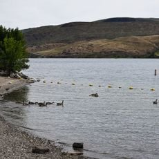
Channeled Scablands, Desert geological formation in eastern Washington, United States.

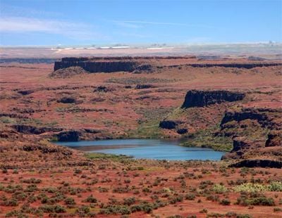
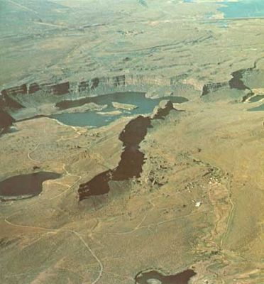
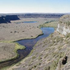
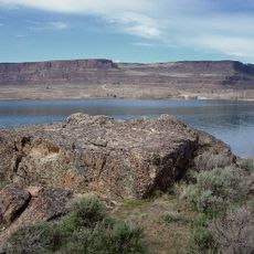
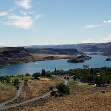
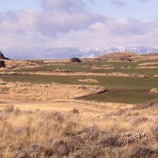
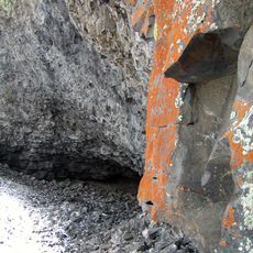
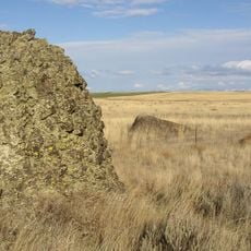
Channeled Scablands is a desert geological formation in eastern Washington that stretches from Spokane to the Columbia River, carved with deep channels through bedrock. The rock grooves run across more than 2,000 square miles and form a network of canyons, cliffs and dry cataracts that expose the underlying basalt.

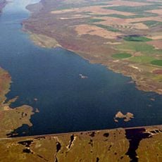
Between 10,000 and 20,000 years ago an ice dam holding back glacial Lake Missoula broke and sent massive floods through the region that stripped away soil and carved the channels. The floods repeated dozens of times and deepened the grooves with each pass.

Settlers arriving in the 1800s found exposed basalt channels running for miles and gave the region a name that reflected their frustration with unplowable rock. The term stuck and remains a reminder of how the raw landscape resisted any attempt at farming.

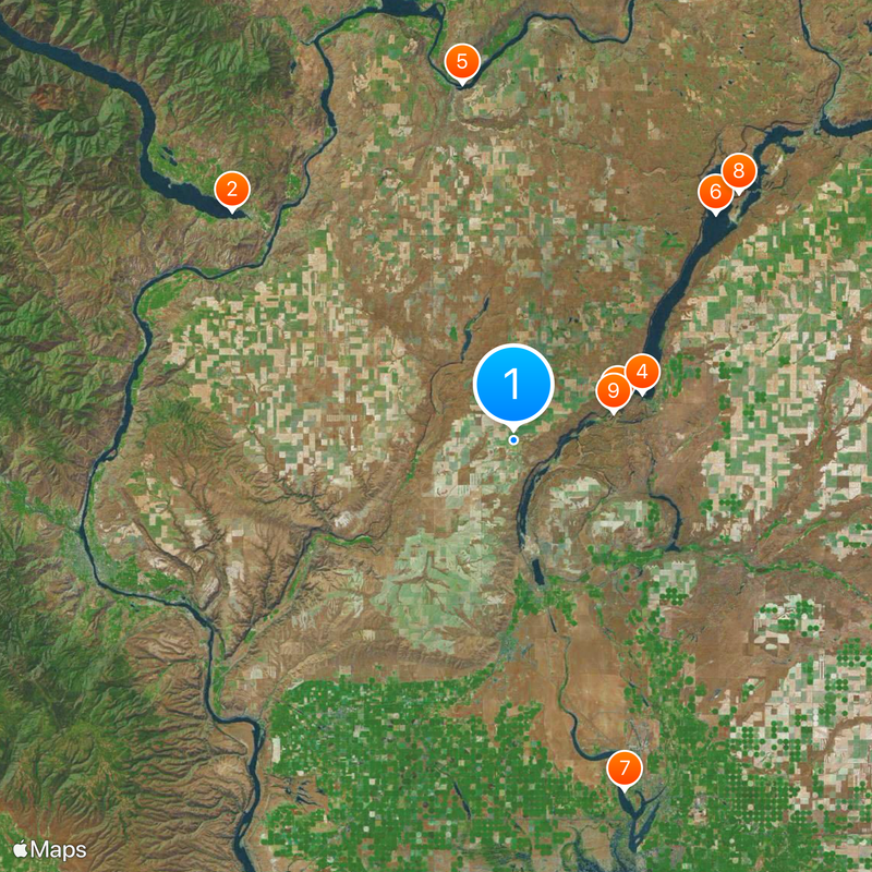
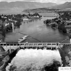
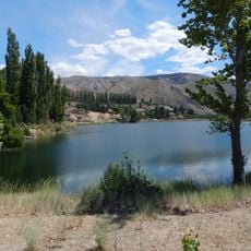
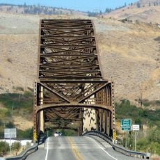
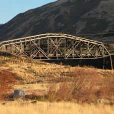
Visitors need a Discover Pass to enter state parks such as Steamboat Rock, Sun Lakes-Dry Falls and Palouse Falls located within the region. Roads cross open terrain so bring water and sun protection, especially during summer months.

Dry Falls, a cliff inside the region, was once a waterfall three miles wide and 400 feet (122 meters) high that carried more water than all current rivers combined. Today the rock face stands empty and marks the spot where glacial floods poured over the edge.

The community of curious travelers

AroundUs brings together thousands of curated places, local tips, and hidden gems, enriched daily by 60,000 contributors worldwide.

Start exploring
Location
GPS coordinates
47.56220,-119.53950
Latest update
December 13, 2025 19:21
Around this place
Show the full map
Reviews
Share your experience

No review yet

Discussions
Start a discussion...

No discussion yet

« Channeled Scablands - Desert geological formation in eastern Washington, United States » is provided by Around Us (aroundus.com). Images and texts are derived from Wikimedia project under a Creative Commons license. You are allowed to copy, distribute, and modify copies of this page, under the conditions set by the license, as long as this note is clearly visible.

Discover hidden gems everywhere you go!

From secret cafés to breathtaking viewpoints, skip the crowded tourist spots and find places that match your style. Our app makes it easy with voice search, smart filtering, route optimization, and insider tips from travelers worldwide. Download now for the complete mobile experience.

Around Us App Screenshot

A unique approach to discovering new places

Le Figaro

All the places worth exploring

France Info

A tailor-made excursion in just a few clicks

20 Minutes

Around Us
Travel Guide & Maps
Download

Send to your phone

QR Code
1

Open the camera app on your mobile.

2

Point at the QR code with your camera. A notification will appear.

3

Tap the notification to open the link.