Chewelah, city in Stevens County, Washington, United States
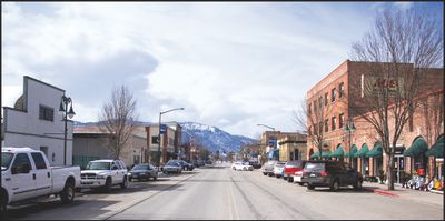
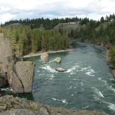
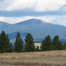
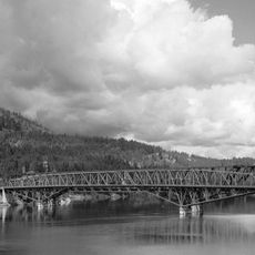
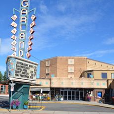
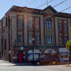
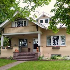
Chewelah is a small city in Stevens County nestled between mountain ranges and surrounded by lakes and rivers. Downtown features historic brick buildings dating to the early 1900s that now house shops and galleries, creating a setting where old structures blend with modern businesses.
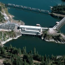
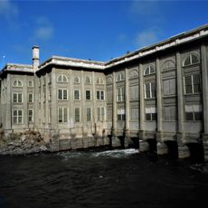
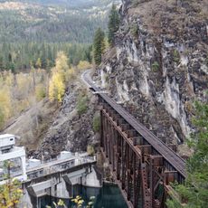
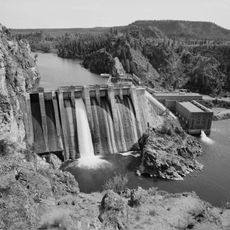
Chewelah was founded in 1854 when Thomas Brown claimed land that became the basis of the present town. The settlement grew into a major industrial center by the mid-1900s, driven by mining operations and the arrival of the Spokane Falls & Northern Railway in 1889, which enabled large-scale extraction of magnesite and other minerals.
The name Chewelah comes from a Native American word meaning small striped snake, reflecting the area's indigenous roots. Today, visitors can see this heritage reflected in local museums and community gathering places that honor the area's original peoples and their connection to the land.
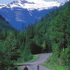
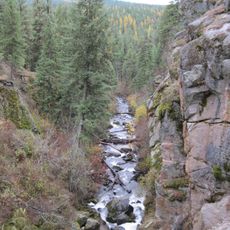
The town sits near hiking trails, fishing lakes, and the 49 North ski area, offering outdoor activities throughout the year. Plan your visit during spring through early fall when roads and trails are most accessible, though winter visitors should be prepared for snow and mountain conditions.
The town hosts a 27-hole golf course, the only one of its kind east of the Cascades, a rare feature for a small mountain town. Additionally, Mistequa Hotel Casino provides gaming and entertainment, combining outdoor recreation with an unexpected form of leisure for visitors seeking variety.
The community of curious travelers
AroundUs brings together thousands of curated places, local tips, and hidden gems, enriched daily by 60,000 contributors worldwide.