Incomappleux River, Brook in West Kootenay region, British Columbia, Canada
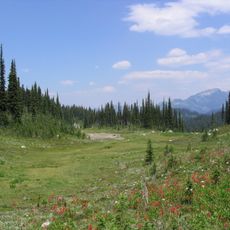
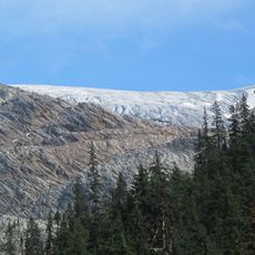
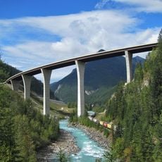
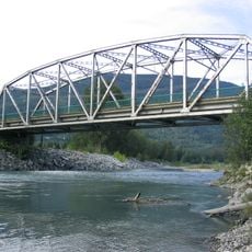
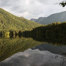
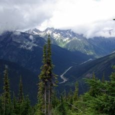
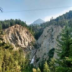
Incomappleux River is a waterway in the West Kootenay region of British Columbia that flows through a 68-kilometer valley before entering the Beaton Arm of Upper Arrow Lake. The valley sits within an inland temperate rainforest, creating a dense forested landscape with ancient tree growth.
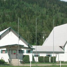
Mining operations started along the river in the late 19th century, leading to the founding of Camborne town in 1902 to support the Beatrice Mine. This mining era shaped the region's development and left traces visible in the landscape today.
The name Incomappleux comes from the Sinixt First Nation word nk'mapeleqs, meaning the northeastern point where the river meets Upper Arrow Lake. Visitors can sense this linguistic connection to the First Nation woven into the landscape itself.
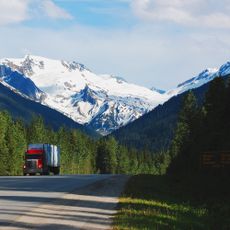
Access to the river valley is limited and requires careful planning, as the area is only open for specialized nature observation and research activities. Visitors should prepare for challenging terrain and isolated conditions when traveling through this remote region.
The river valley is home to over 250 lichen species, including seven previously unknown to science. This exceptional biodiversity flourishes within a conservation area established in 2023 that protects 58,000 hectares of wilderness.
The community of curious travelers
AroundUs brings together thousands of curated places, local tips, and hidden gems, enriched daily by 60,000 contributors worldwide.