
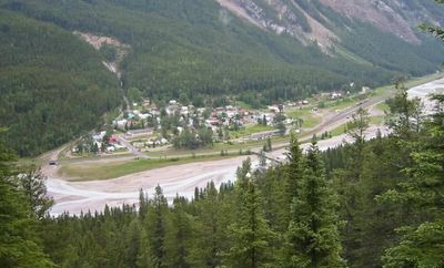
Field, human settlement in British Columbia, Canada
Location: Columbia-Shuswap Regional District
Location: Yoho National Park
GPS coordinates: 51.39667,-116.48583
Latest update: June 13, 2025 10:48
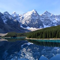
Moraine Lake
22.4 km
Burgess Shale
4.3 km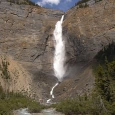
Takakkaw Falls
11.6 km
Kicking Horse Pass
15.4 km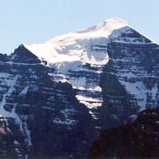
Mount Temple
20.1 km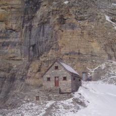
Abbot Pass hut
14.1 km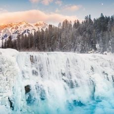
Wapta Falls
24.2 km
Phyllopod bed
4.9 km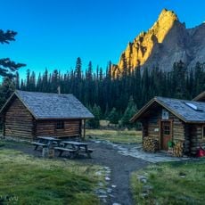
Elizabeth Parker hut
10.9 km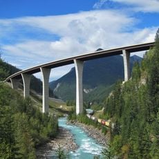
Park Bridge
25.9 km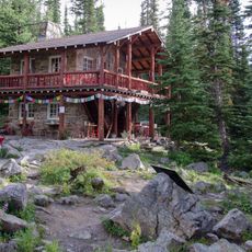
Plain of Six Glaciers Tea House
14.8 km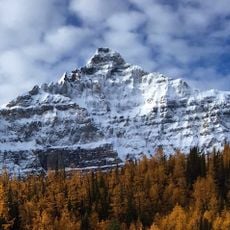
Deltaform Mountain
19.8 km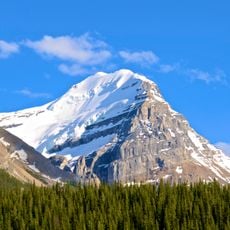
Mount Victoria
12.6 km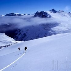
Waputik Icefield
19.1 km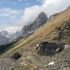
Stephen Formation
13.5 km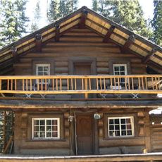
Twin Falls Tea House
16.8 km
Fay hut
24.4 km
Vulture Glacier
25.9 km
Cathedral Formation
6.6 km
Tonsa
22.7 km
Mount Whyte
14.9 km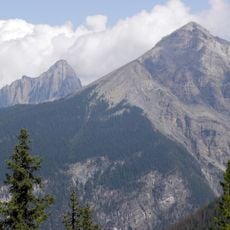
Mount Field
4.1 km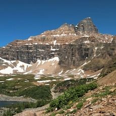
Wenkchemna Peak
16.5 km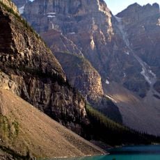
Mount Bowlen
23.2 km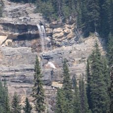
Angels Staircase Falls
13.4 km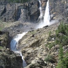
Twin Falls
16.7 km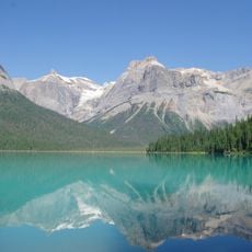
Yoho National Park
172 m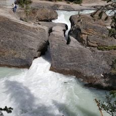
Natural Bridge
3.5 kmReviews
Visited this place? Tap the stars to rate it and share your experience / photos with the community! Try now! You can cancel it anytime.
Discover hidden gems everywhere you go!
From secret cafés to breathtaking viewpoints, skip the crowded tourist spots and find places that match your style. Our app makes it easy with voice search, smart filtering, route optimization, and insider tips from travelers worldwide. Download now for the complete mobile experience.

A unique approach to discovering new places❞
— Le Figaro
All the places worth exploring❞
— France Info
A tailor-made excursion in just a few clicks❞
— 20 Minutes