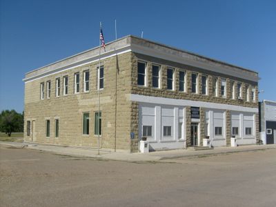
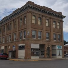
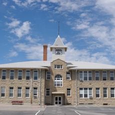
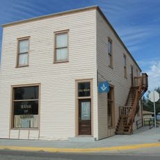
Petroleum County, Administrative division in Montana, US.
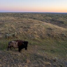
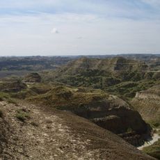
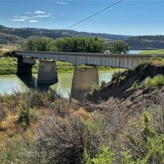
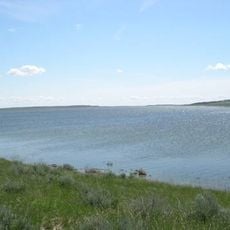
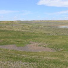
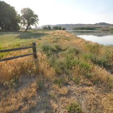
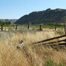
Petroleum County is an administrative division in Montana that stretches across rolling plains meeting river breaks along the Musselshell and Missouri Rivers. The landscape alternates between open grassland and steeper cliff formations, creating varied terrain across the region.
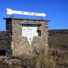
The territory was established in 1925 as Montana's last county, created after oil discovery at Cat Creek led to separation from Fergus County. This event determined the region's economic focus for the following decades.
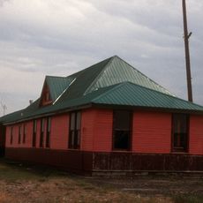
Ranching shapes daily life here, with cattle and sheep herds scattered across the landscape as the primary livelihood for residents. The land itself feels organized around these pastoral activities, which connect people to their communities and traditions.
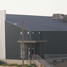
Montana Highway 200 is the main road connecting the area to essential services in neighboring regions and serves as the primary route for travelers passing through. The region is sparsely populated, so visitors should expect longer distances between towns and services.
With roughly 500 residents, this is one of the least densely populated counties in the nation, giving the region a quiet, remote character. This sparseness means visitors encounter vast stretches of open land and a rural pace of life rarely found elsewhere.
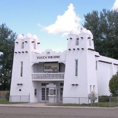
GPS coordinates: 47.06065,-108.27696
Latest update: December 7, 2025 19:25
Lewis and Clark National Historic Trail
119.4 km
American Prairie Reserve
96.1 km
Fort Peck Lake
145.2 km
Charles M. Russell National Wildlife Refuge
107.7 km
Lake Elmo State Park
136.9 km
Hell Creek Recreational Area
121.7 km
Fred Robinson Bridge
70.5 km
UL Bend National Wildlife Refuge
65.9 km
War Horse National Wildlife Refuge
24.4 km
Hailstone National Wildlife Refuge
136.2 km
Fergus County High School
87.1 km
Great Plains Dinosaur Museum and Field Station
147.9 km
Yucca Theatre
116.9 km
Milwaukee Road Historic District
137.5 km
Judith Landing Historic District
126.5 km
Masonic Temple
87.2 km
Roundup Central School
71.3 km
Lavina State Bank
99.1 km
St. Benedict's Catholic School
71.3 km
Phillips County Carnegie Library
147.7 km
Lewistown Central Business Historic District
87.4 km
Cat Creek Oil Field Sign
21.1 km
Abraham and Mary Walton Hogeland House
87.6 km
Ervin Homestead-Gist Bottom Historic District
99.6 km
Lewistown Courthouse Historic District
87.5 km
Anderson House
87.6 km
Lewistown Silk Stocking District
87.2 km
Huntoon Residence
87.2 kmVisited this place? Tap the stars to rate it and share your experience / photos with the community! Try now! You can cancel it anytime.
Discover hidden gems everywhere you go!
From secret cafés to breathtaking viewpoints, skip the crowded tourist spots and find places that match your style. Our app makes it easy with voice search, smart filtering, route optimization, and insider tips from travelers worldwide. Download now for the complete mobile experience.
A unique approach to discovering new places❞
— Le Figaro
All the places worth exploring❞
— France Info
A tailor-made excursion in just a few clicks❞
— 20 Minutes