Upper Missouri River Breaks National Monument, National Monument in central Montana, United States.
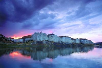
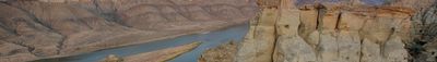
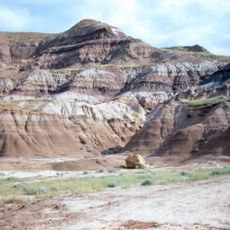
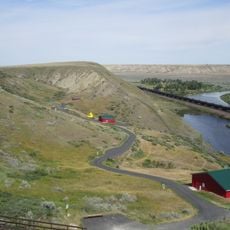
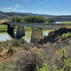
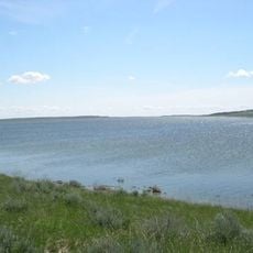
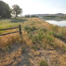
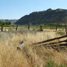
The Upper Missouri River Breaks is a protected monument spanning 377,000 acres of public land characterized by steep bluffs, rock formations, and grassland. The Missouri River runs through this landscape, defining the terrain and creating distinct environments within the monument.
The area received protection as a national monument in 2001, preserving land where Lewis and Clark documented bighorn sheep for the first time in 1805. This historic exploration route marks a significant chapter in the early documentation of western wilderness.
The area reveals traces of several Native American tribes through visible camp rings and settlement sites scattered across the landscape. These remnants show how the Blackfeet, Crow, Northern Cheyenne, and Plains Cree shaped this land over time.
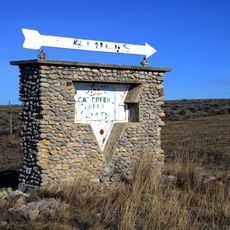
Access to the monument is primarily through U.S. Highway 87 from Fort Benton, though most areas require walking to explore properly. Visitors should wear sturdy footwear and bring plenty of water, as vehicle access is limited throughout the protected land.
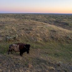
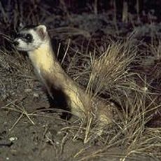
The monument shelters one of Montana's largest elk herds and protects six of the remaining paddlefish populations in the country. These uncommon fish species inhabit the river waters and make this a significant refuge for wildlife conservation.
The community of curious travelers
AroundUs brings together thousands of curated places, local tips, and hidden gems, enriched daily by 60,000 contributors worldwide.