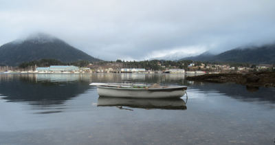
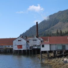
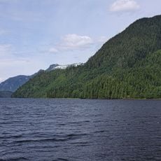
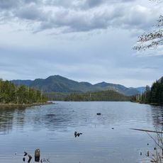
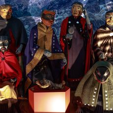
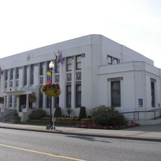
Port Edward, district municipality in British Columbia
Location: North Coast Regional District
GPS coordinates: 54.23330,-130.28300
Latest update: March 2, 2025 22:46
Tseax Cone
132.2 km
Anhluut'ukwsim Laxmihl Angwinga'asanskwhl Nisga'a
134.1 km
CFS Masset
122.3 km
Gitlaxt'aamiks
136.9 km
Naikoon Provincial Park
114.4 km
Kitselas Canyon
126.6 km
Lakelse Lake Provincial Park
115.9 km
Tree Point Light
76.1 km
Gardner Canal
123 km
Mary Island Light
112.4 km
Triple Island Lightstation
39.4 km
North Pacific Cannery National Historic Site
5.8 km
Khutzeymateen Inlet
48.4 km
Prudhomme Lake Provincial Park
9.9 km
Nisga'a Museum
99.8 km
Diana Lake Provincial Park
7.8 km
Lax Kul Nii Luutiksm/Bonilla Conservancy
86 km
Museum of Northern British Columbia
9.6 km
Foch-Gilttoyees Provincial Park
84.6 km
Prince Rupert City Hall
9.3 km
Father William Duncan House
130.3 km
Lowe Inlet Marine Provincial Park
88.1 km
Storehouse No. 3
112.2 km
Green Island lighthouse
46.4 km
Lucy Islands light
22.3 km
North Pacific Cannery National Historic Site
5.9 km
Heritage Park
114.6 km
Lowe Inlet
88.5 kmVisited this place? Tap the stars to rate it and share your experience / photos with the community! Try now! You can cancel it anytime.
Discover hidden gems everywhere you go!
From secret cafés to breathtaking viewpoints, skip the crowded tourist spots and find places that match your style. Our app makes it easy with voice search, smart filtering, route optimization, and insider tips from travelers worldwide. Download now for the complete mobile experience.
A unique approach to discovering new places❞
— Le Figaro
All the places worth exploring❞
— France Info
A tailor-made excursion in just a few clicks❞
— 20 Minutes