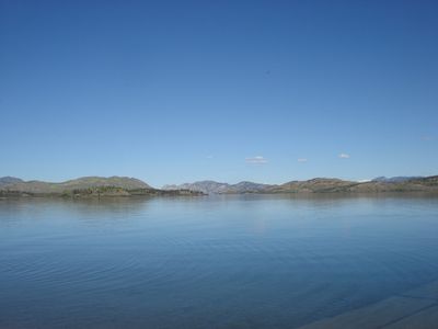
Lake Laberge, Glacial lake in Whitehorse region, Canada
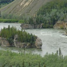
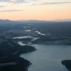
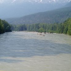
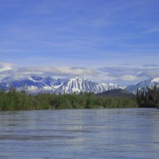
Lake Laberge is a widened section of the Yukon River stretching roughly 50 kilometers long with depths reaching over 140 meters in places. Limestone cliffs frame its shores and create a distinctive landscape.
A French-Canadian surveyor named Michel Laberge mapped the region during the 1800s and the lake took his name. The water had been known by other names long before that.
The Southern Tutchone people called this water Tàa'an Män, meaning flat lake place, and fished along its shores for generations. The names and stories still tie the community to this landscape.
A territorial campground at Deep Creek Road offers a boat launch, cook shelter, and access to rocky beach areas. Late spring through early fall provides the most reliable conditions for visiting.
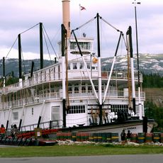
The wreck of the A.J. Goddard from 1901 rests at the bottom with intact items like a phonograph and records still inside. The ship was not discovered until 2009, making it a rare window into early settlement life.
The community of curious travelers
AroundUs brings together thousands of curated places, local tips, and hidden gems, enriched daily by 60,000 contributors worldwide.