Chest opened
+${chestReward.xp} XP
Explorer
NOUVEAU ×${chestReward.collectible.quantity}
tapez pour fermer
Chest locked

Open chests in the app

Around Us is built for your phone — chests unlock when you walk, explore and capture nearby places.

Enable Location

We need your location to show you interesting places around you

Discover nearby places

Find interesting locations and hidden gems around you

Precise directions

Get accurate directions and distances to places

Your location is never shared with other users. It's only used when you tap the location button.

Log in to your account

Start exploring — it's free

Trusted by 73,078 travelers worldwide

Continue with Google
Continue with Apple
or

We will send you a code to connect

By continuing, you accept our Terms and Conditions and our Privacy Policy

Check your inbox

We've sent a pincode in your inbox. Please enter the code below.

Big Bend Country
Discussion Reviews Photo
4.2k Popularity

Big Bend Country, Natural region in British Columbia, Canada

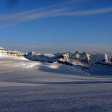
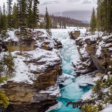
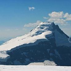
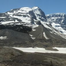
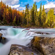
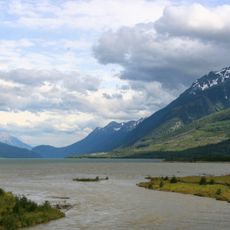
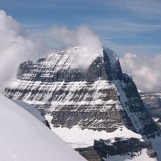
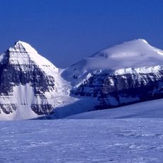
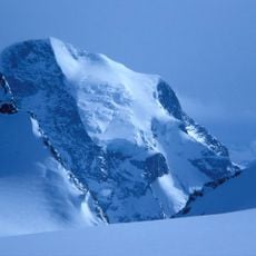
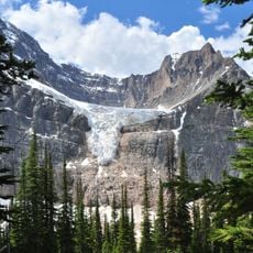
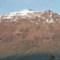
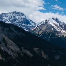
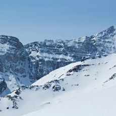
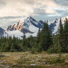
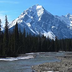
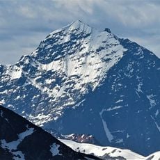
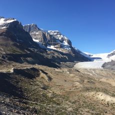
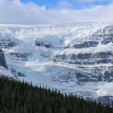
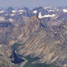
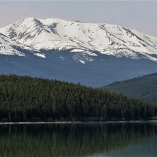
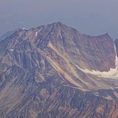
Big Bend Country is a geographical region in British Columbia centered on the northern loop of the Columbia River, nestled between the Selkirk and Monashee Mountains. The landscape features thick evergreen forests, steep valley walls, and a river that curves dramatically through narrow canyons.

David Thompson of the Hudson's Bay Company first mapped this region in 1811, establishing navigation routes for fur trade operations through the territory. These early expeditions opened the way for later settlement and commercial activity in the area.

The Secwepemc and Ktunaxa peoples have deep roots here, and their presence shapes how the land is used and understood today. You can feel this connection in place names, local practices, and the way communities relate to the surrounding forests and river.

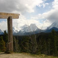
The region is accessible through road networks connected to British Columbia's main highway system, with communities nearby offering basic services. Travel is most reliable during warmer months when mountain passes are open and road conditions are stable.

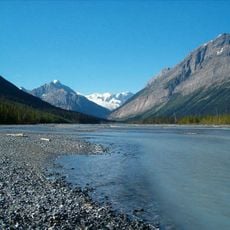
The Columbia River forms an unusually tight loop around the Selkirk Mountains, with the water only kilometers apart at two points before spreading across a large area. This sharp geographical feature is what gives the region its distinctive character and memorable name.

The community of curious travelers

AroundUs brings together thousands of curated places, local tips, and hidden gems, enriched daily by 60,000 contributors worldwide.

Start exploring
GPS coordinates
52.10750,-118.50220
Latest update
December 11, 2025 11:04
Reviews
Share your experience

No review yet

Discussions
Start a discussion...

No discussion yet

« Big Bend Country - Natural region in British Columbia, Canada » is provided by Around Us (aroundus.com). Images and texts are derived from Wikimedia project under a Creative Commons license. You are allowed to copy, distribute, and modify copies of this page, under the conditions set by the license, as long as this note is clearly visible.

Discover hidden gems everywhere you go!

From secret cafés to breathtaking viewpoints, skip the crowded tourist spots and find places that match your style. Our app makes it easy with voice search, smart filtering, route optimization, and insider tips from travelers worldwide. Download now for the complete mobile experience.

Around Us App Screenshot

A unique approach to discovering new places

Le Figaro

All the places worth exploring

France Info

A tailor-made excursion in just a few clicks

20 Minutes

Around Us
Travel Guide & Maps
Download

Send to your phone

QR Code
1

Open the camera app on your mobile.

2

Point at the QR code with your camera. A notification will appear.

3

Tap the notification to open the link.