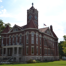
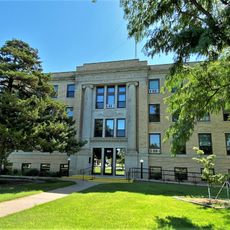
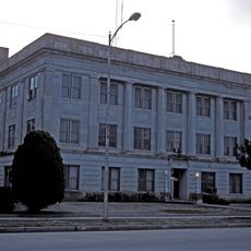
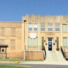
Barber County, County in south-central Kansas, United States
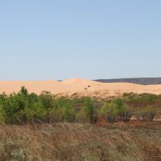
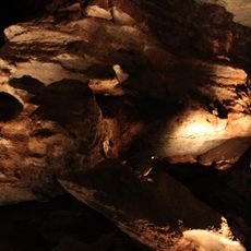
Barber County is an administrative division in south-central Kansas with plains and hills shaped by ranching and farm operations. The Medicine Lodge River runs through the region, having carved out landscapes featuring reddish soil and mineral deposits over time.
It was established in 1867 and named for Thomas Barber, a free-state supporter killed during the 1855 Wakarusa War. That same founding year brought important peace negotiations that helped define boundaries between tribal nations and federal authorities.
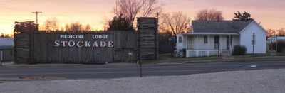
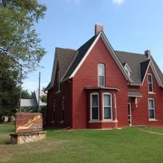
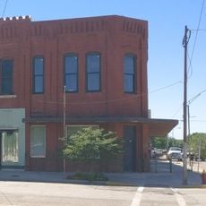
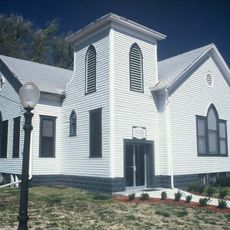
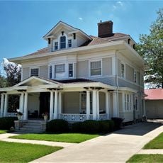
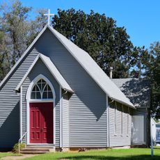
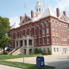
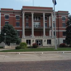
The name reflects Thomas Barber, a free-state supporter whose story remains part of local identity. Visitors today encounter communities built around farming traditions and the heritage of frontier life in the Great Plains.
It is best explored by car since settlements are spread far apart and public transportation is limited across the area. Spring and autumn are ideal times to visit when temperatures are mild and farming activities are visible throughout the region.
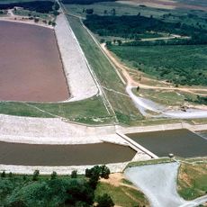
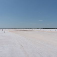
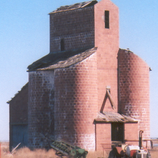
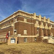
During the 1890s, gypsum deposits along Medicine Lodge River were commercially mined, making the area a significant supplier of building materials. This mining heritage still shapes the economy and landscape of certain towns today.
Location: Kansas
Inception: February 26, 1867
Capital city: Medicine Lodge
Shares border with: Pratt County, Kingman County, Harper County, Alfalfa County, Woods County, Comanche County, Kiowa County
Website: http://BarberCounty.net
GPS coordinates: 37.09333,-98.94500
Latest update: December 10, 2025 15:55
Little Sahara State Park
62.6 km
Great Salt Plains Lake
77.8 km
Big Well
64.8 km
Alabaster Caverns State Park
47.5 km
Salt Plains National Wildlife Refuge
74.6 km
Brenham
57.8 km
Carrie Nation House
38.2 kmSod House
83.4 km
Medicine Lodge Peace Treaty Site
40.7 km
Salter House
106.2 km
Fromme-Birney Round Barn
69.4 km
Ingersoll Tile Elevator
59.5 km
Central National Bank
40.6 km
Stafford Reformed Presbyterian Church
101.3 km
Hotel Roberts
63.8 km
Cherokee Friends Church
64.6 km
S.P. Gebhart House
64.1 km
Old Runnymede Church
84 km
Farmers National Bank
101.4 km
Kingman County Courthouse
95.8 km
Harper County Courthouse
81.6 km
Stafford First United Methodist Church
101.5 km
Pratt County Courthouse
63.9 km
Earl H. Ellis VFW Post No. 1362
64.3 km
Comanche County Courthouse
39 km
Alfalfa County Courthouse
64.5 km
Kiowa County Historical Museum and Soda Fountain
64.6 km
Cherokee Strip Museum of Alva
40.3 kmVisited this place? Tap the stars to rate it and share your experience / photos with the community! Try now! You can cancel it anytime.
Discover hidden gems everywhere you go!
From secret cafés to breathtaking viewpoints, skip the crowded tourist spots and find places that match your style. Our app makes it easy with voice search, smart filtering, route optimization, and insider tips from travelers worldwide. Download now for the complete mobile experience.
A unique approach to discovering new places❞
— Le Figaro
All the places worth exploring❞
— France Info
A tailor-made excursion in just a few clicks❞
— 20 Minutes