Enable Location

We need your location to show you interesting places around you

Discover nearby places

Find interesting locations and hidden gems around you

Precise directions

Get accurate directions and distances to places

Your location is never shared with other users. It's only used when you tap the location button.

Harper County

Log in to your account

Start exploring — it's free

Trusted by 62,830 travelers worldwide

Continue with Google
Continue with Apple
or

We will send you a code to connect

By continuing, you accept our Terms and Conditions and our Privacy Policy

Check your inbox

We've sent a pincode in your inbox. Please enter the code below.

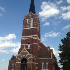
Harper County, County in northwestern Oklahoma, United States

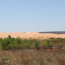
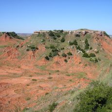
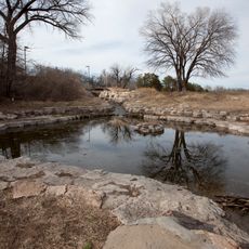
Harper County is an administrative division in northwestern Oklahoma covering flat High Plains terrain with a semi-arid climate. The landscape features open grasslands, farmland, and pastures crossed by several waterways that define the region's character.

The county formed in 1907 from Cherokee Outlet territory and took its name from Oscar Green Harper, a clerk of the Oklahoma Constitutional Convention. This founding laid the foundation for settlement patterns and agricultural development across the area.

Life here revolves around farming and ranching, which shape how people spend their time and organize their communities. Small towns serve as gathering places where locals connect around agricultural fairs and seasonal events.

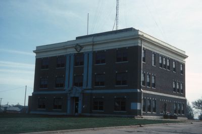
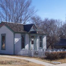
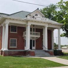
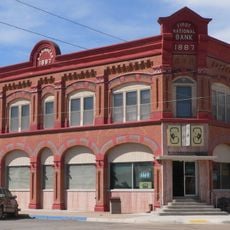
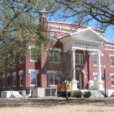
Buffalo serves as the county seat and offers essential services including healthcare, government offices, and shopping options. It is the main place to stop for practical needs and local information.

Three rivers flow through the area: Buffalo Creek, Cimarron River, and Beaver River, creating natural boundaries and water resources. These waterways are essential natural features that visitors can observe throughout the landscape.

The community of curious travelers

AroundUs brings together thousands of curated places, local tips, and hidden gems, enriched daily by 60,000 contributors worldwide.

Start exploring
Location
Inception
July 16, 1907
Capital city
Buffalo
Shares border with
Comanche County, Ellis County, Woods County, Woodward County, Beaver County, Clark County
GPS coordinates
36.78000,-99.65000
Latest update
December 10, 2025 15:59
Around this place
Little Sahara State Park
United States of America

Little Sahara State Park

73.9 km
Big Well
United States of America

Big Well

97.2 km
Alabaster Caverns State Park
United States of America

Alabaster Caverns State Park

45.8 km
Gloss Mountain State Park
United States of America

Gloss Mountain State Park

106.2 km
Boiling Springs State Park
United States of America

Boiling Springs State Park

47.8 km
Brenham
United States of America

Brenham

99.2 km
Dalton Gang Hideout and Museum
United States of America

Dalton Gang Hideout and Museum

82.6 km
Big Basin Prairie Preserve
United States of America

Big Basin Prairie Preserve

59.8 km
Fort Dodge
United States of America

Fort Dodge

108.8 km
Fort Supply
United States of America

Fort Supply

24 km
Carrie Nation House
United States of America

Carrie Nation House

109.9 km
Fromme-Birney Round Barn
United States of America

Fromme-Birney Round Barn

84.1 km
Central National Bank
United States of America

Central National Bank

87.7 km
Immaculate Heart of Mary Catholic Church
United States of America

Immaculate Heart of Mary Catholic Church

111.9 km
L. L. Stine House
United States of America

L. L. Stine House

44.6 km
Fowler Swimming Pool and Bathhouse
United States of America

Fowler Swimming Pool and Bathhouse

82.8 km
Stockgrowers State Bank
United States of America

Stockgrowers State Bank

46.7 km
Stein House
United States of America

Stein House

47 km
Girl Scout Little House
United States of America

Girl Scout Little House

47 km
Lipscomb County Courthouse
United States of America

Lipscomb County Courthouse

82.3 km
Ashland Grade School
United States of America

Ashland Grade School

46.8 km
Ellis County Courthouse
United States of America

Ellis County Courthouse

72.7 km
Harper County Courthouse
United States of America

Harper County Courthouse

6.2 km
Comanche County Courthouse
United States of America

Comanche County Courthouse

61.5 km
Kiowa County Historical Museum and Soda Fountain
United States of America

Kiowa County Historical Museum and Soda Fountain

97 km
Cherokee Strip Museum of Alva
United States of America

Cherokee Strip Museum of Alva

86.5 km
Boiling Springs State Park Pool Bathhouse
United States of America

Boiling Springs State Park Pool Bathhouse

47.9 km
Shattuck Windmill Museum
United States of America

Shattuck Windmill Museum

60.8 km
Show the full map
Administrative divisions
« Harper County - County in northwestern Oklahoma, United States » is provided by Around Us (aroundus.com). Images and texts are derived from Wikimedia project under a Creative Commons license. You are allowed to copy, distribute, and modify copies of this page, under the conditions set by the license, as long as this note is clearly visible.

Discover hidden gems everywhere you go!

From secret cafés to breathtaking viewpoints, skip the crowded tourist spots and find places that match your style. Our app makes it easy with voice search, smart filtering, route optimization, and insider tips from travelers worldwide. Download now for the complete mobile experience.

Around Us App Screenshot

A unique approach to discovering new places

Le Figaro

All the places worth exploring

France Info

A tailor-made excursion in just a few clicks

20 Minutes

Around Us
Travel Guide & Maps
Download

Send to your phone

QR Code
1

Open the camera app on your mobile.

2

Point at the QR code with your camera. A notification will appear.

3

Tap the notification to open the link.