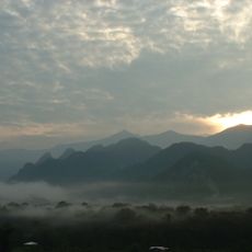
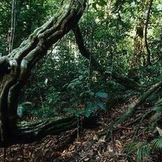
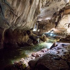
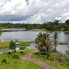
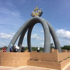
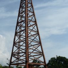
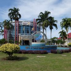
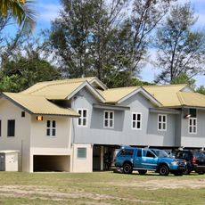
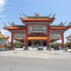
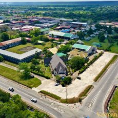
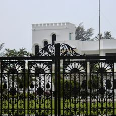
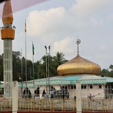
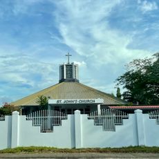
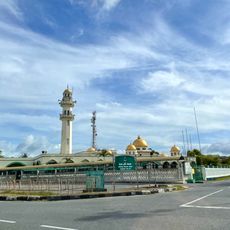
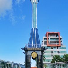
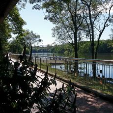
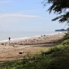
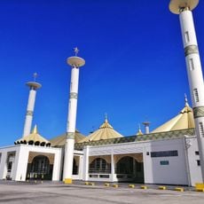
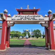
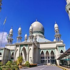
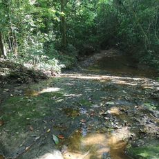
Belait District, largest district in Brunei
Location: Brunei
Capital city: Kuala Belait
Elevation above the sea: 17 m
Shares border with: Sarawak
Website: http://belait.gov.bn
GPS coordinates: 4.41667,114.58333
Latest update: March 6, 2025 11:46
Gunung Mulu National Park
48.8 km
Deer Cave
48.9 km
Jerudong Park
64.3 km
Mount Mulu
56.4 km
Lambir Hills National Park
65.5 km
Clearwater Cave
48.9 km
Tasek Merimbun
22.4 km
Billionth Barrel Monument
37 km
Petroleum Museum
65.4 km
Seria Energy Lab
36.1 km
Tua Pek Kong Temple, Miri
66.5 km
Miri Crocodile Farm cum Mini Zoo
69.4 km
Istana Pantai
43.9 km
San Ching Tian Temple
64.4 km
Church of Our Lady of Immaculate Conception, Seria
35.2 km
Istana Kota Manggalela
41.9 km
Hassanal Bolkiah Mosque
44.3 km
Belait District Museum
47.6 km
St John's Church, Kuala Belait
47 km
Taman Seri Warisan Emas
45.2 km
Pekan Seria Mosque
35.5 km
Menara Cendera Kenangan
46.5 km
Damuan Recreational Park
62.1 km
Seri Kenangan Beach
43 km
Muhammad Jamalul Alam Mosque
47.5 km
Silver Jubilee Park
47.2 km
Kampong Pandan Mosque
43.3 km
Wasai Kandal Hike
59.4 kmReviews
Visited this place? Tap the stars to rate it and share your experience / photos with the community! Try now! You can cancel it anytime.
Discover hidden gems everywhere you go!
From secret cafés to breathtaking viewpoints, skip the crowded tourist spots and find places that match your style. Our app makes it easy with voice search, smart filtering, route optimization, and insider tips from travelers worldwide. Download now for the complete mobile experience.
A unique approach to discovering new places❞
— Le Figaro
All the places worth exploring❞
— France Info
A tailor-made excursion in just a few clicks❞
— 20 Minutes