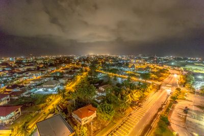
Kuala Belait, town in Brunei
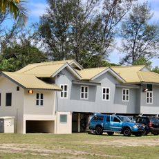
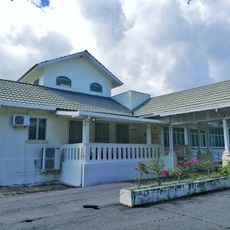
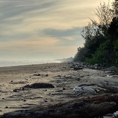
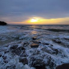
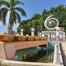
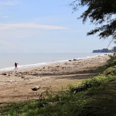
Kuala Belait is a small town at the mouth of the Belait River, Brunei's longest waterway, with a mix of modern buildings and traditional houses reflecting its steady growth. Boats are moored along the riverbank, locals move through their daily routines, and the nearness to the coast brings a cool sea breeze through the quiet streets.
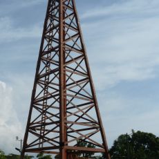
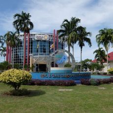
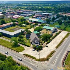
Kuala Belait began as a fishing and river transport hub but gradually shifted focus as the oil and gas industry developed in the region. This transition transformed the small settlement into an important economic center, attracting workers from across the country and shaping the town's modern identity.
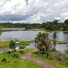
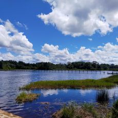
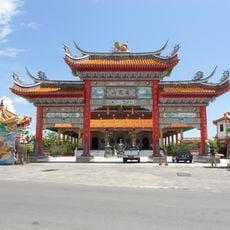
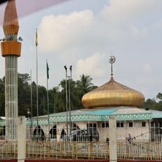
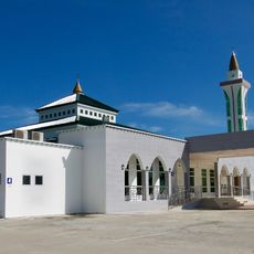
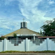
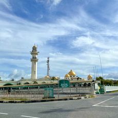
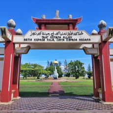
Kuala Belait takes its name from Brunei's longest river, which has shaped the town and continues to influence daily rhythms. The residents from different ethnic backgrounds - Malays, Chinese, and indigenous communities - bring their own traditions, visible especially during festivals and in the variety of foods sold at local markets.
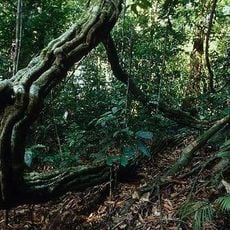
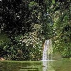
The town is best explored by car since there are no local buses or taxis, though the roads are well-maintained and easy to navigate. It sits roughly 100 kilometers from the international airport, and the drive passes through forested areas and small villages.
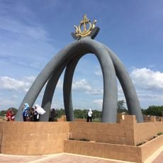
Though quiet today, the town played a key role in Brunei's oil history and modern offshore platforms remain visible from the coast. Helicopters regularly transport workers between the town and installations at sea, serving as a reminder of the industrial activity that drives the local economy.
The community of curious travelers
AroundUs brings together thousands of curated places, local tips, and hidden gems, enriched daily by 60,000 contributors worldwide.