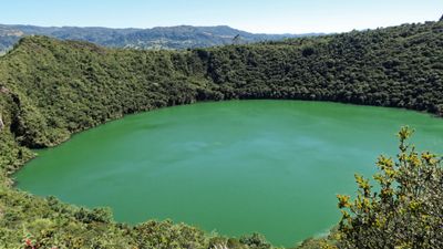
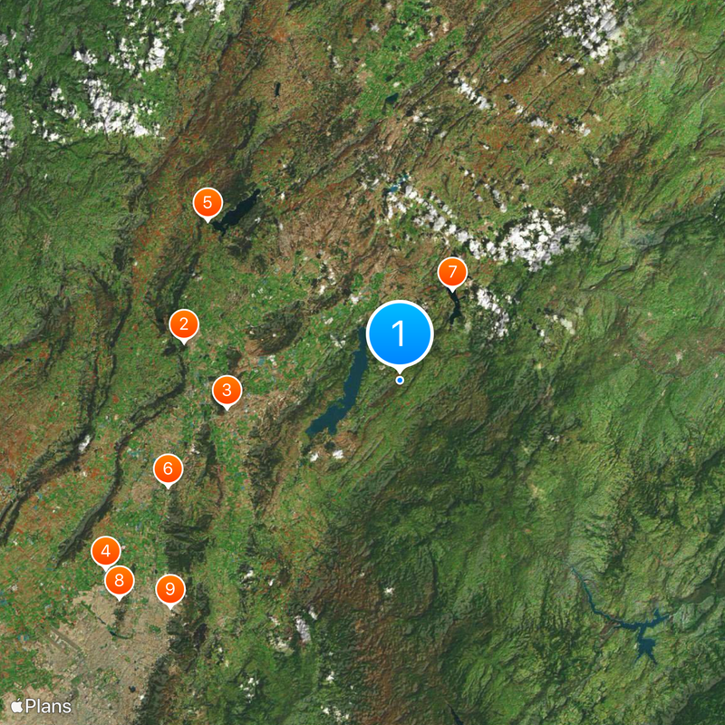
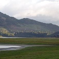
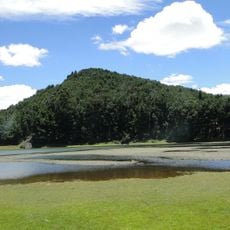
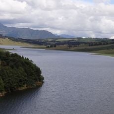
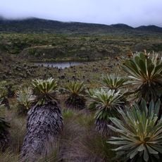
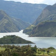
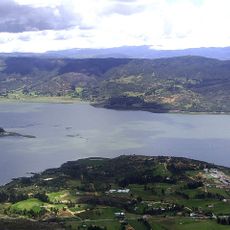
Lake Guatavita, High-altitude lake in Cundinamarca Department, Colombia.
Lake Guatavita sits at an elevation of 9,843 feet (3,000 meters) above sea level in the Andes mountains, featuring a circular shape formed by underground salt dissolution over millions of years.
Spanish conquistador Gonzalo Jiménez de Quesada reached the lake in 1537 during his expedition searching for gold, bringing European attention to this indigenous sacred site and sparking numerous treasure recovery attempts.
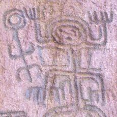
The Muisca people performed ceremonies at Lake Guatavita where their chief, covered in gold dust, would dive into the water from a raft while offering treasures to the goddess of water, giving rise to the El Dorado legend.
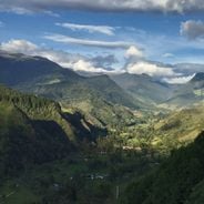
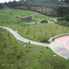
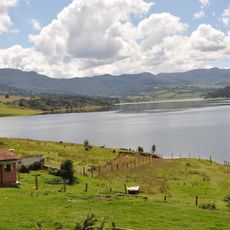
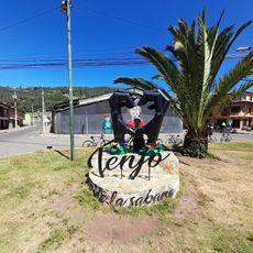
Visitors can reach Lake Guatavita from Bogotá in approximately two hours by car, covering about 47 miles (75 kilometers) through scenic countryside routes in the Cundinamarca Department of Colombia.
The lake remains protected as a natural reserve where artifacts of gold and silver ceremonial objects have been discovered at depths reaching 410 feet (125 meters), confirming historical accounts of Muisca ritual offerings.
Location: Cundinamarca Department
Elevation above the sea: 3,000 m
GPS coordinates: 4.97722,-73.77556
Latest update: November 28, 2025 11:10
Colombia presents geographic diversity that spans Caribbean coastlines, Andean highlands, Pacific forests, and eastern plains. The country encompasses colonial architecture in towns like Barichara and Mompox, where centuries-old stone buildings and churches reflect Spanish heritage. Natural formations include the Tatacoa Desert with its red sandstone canyons, the seasonal colors of Caño Cristales river, and the coastal dunes at Punta Gallinas marking South America's northernmost point. Coffee-growing regions such as Jardín preserve traditional Antioquian architecture, while islands like Providencia and Gorgona protect coral reefs and marine ecosystems in both Caribbean and Pacific waters. From the arid landscapes of La Guajira Desert inhabited by Wayuu communities to the neo-Gothic architecture of Las Lajas Sanctuary bridging a river canyon, these locations demonstrate the country's contrasts. Visitors can explore mountain trails, observe astronomical phenomena in clear desert skies, discover colonial goldsmithing traditions, and witness humpback whale migrations. Each destination contributes to understanding Colombia's environmental and cultural range, offering experiences that vary from remote wilderness areas to well-preserved historical settlements across different elevations and climates.
Salt Cathedral of Zipaquirá
26.3 km
Jaime Duque
21.1 km
Forest Reserve Thomas van der Hammen
42 km
Embalse del Neusa
30 km
Castillo Marroquín
30.6 km
Represa del Sisga
12.6 km
Parque Mirador de los Nevados
42.7 km
North Point Building
38.7 km
El Abra
20 km
Hacienda Santa Bárbara
42.6 km
Biblioteca Pública Julio Mario Santo Domingo
40.2 km
San Rafael Reservoir
38.8 km
Puente del Común
31.7 km
Basílica del Santo Cristo de Ubaté
37 km
Museo Aeroespacial Fuerza Aeroespacial Colombiana
20.9 km
Páramo de Guacheneque
41 km
Cathedral of the Most Holy Trinity, Zipaquirá
25.8 km
Moon Temple
36.6 km
Provincia de Cundinamarca
22.7 km
Centro Chía
31.5 km
Colombian Aerospace Museum
20.8 km
Lac del Neusa
28.3 km
Lac del Guavio
41.5 km
Tominé Reservoir
7.6 km
Lac del Sisga
12.6 km
Mural Esteban Chavez
42.4 km
Alcalá - Nueva Autopista park
41.6 km
Reviews
Visited this place? Tap the stars to rate it and share your experience / photos with the community! Try now! You can cancel it anytime.
Discover hidden gems everywhere you go!
From secret cafés to breathtaking viewpoints, skip the crowded tourist spots and find places that match your style. Our app makes it easy with voice search, smart filtering, route optimization, and insider tips from travelers worldwide. Download now for the complete mobile experience.
A unique approach to discovering new places❞
— Le Figaro
All the places worth exploring❞
— France Info
A tailor-made excursion in just a few clicks❞
— 20 Minutes