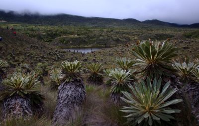
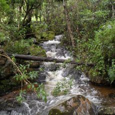
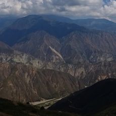
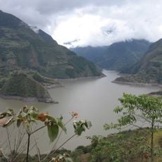
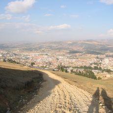
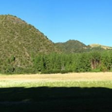
Páramo de Guacheneque, High-altitude wetland ecosystem in Villapinzón, Colombia.
Páramo de Guacheneque is a high-altitude wetland ecosystem at about 3300 meters elevation with vegetation specially adapted to extreme cold. The area functions like a natural water reservoir, collecting rainfall and releasing it to lower regions below.
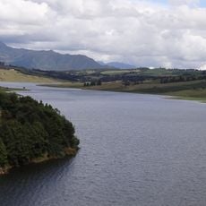
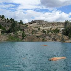
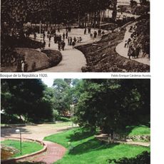
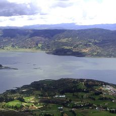
This area marks the source of the Bogotá River, which has supported regional development across Colombia for centuries. The river continues to shape the landscape and economy of the regions it flows through today.
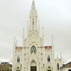
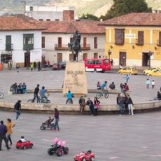
The surrounding communities depend on and actively participate in protecting the water sources that flow from this ecosystem. Knowledge of this connection shapes how people here understand their relationship with the landscape.
The hiking route takes several hours and crosses varying terrain with steep sections throughout. Bring warm, waterproof clothing and sturdy footwear since weather changes rapidly and the ground is often wet and muddy.
The area works like a natural sponge, storing water during rainy seasons and slowly releasing it to the river during drier times. This natural process keeps the Bogotá River flowing consistently throughout the year.
The community of curious travelers
AroundUs brings together thousands of curated places, local tips, and hidden gems, enriched daily by 60,000 contributors worldwide.