Guiana Shield, Geological shield in northeastern South America
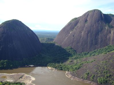
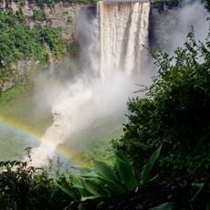
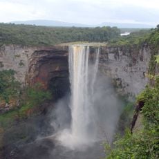
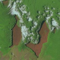
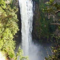
The Guiana Shield spreads across Brazil, Guyana and Venezuela, covering much of northeastern South America with ancient rock. Its surface shows worn formations, isolated peaks and wide rainforests that stretch for thousands of kilometres.
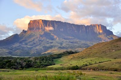
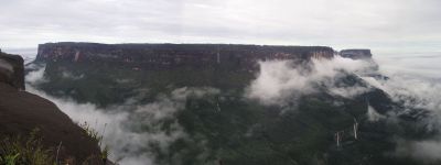
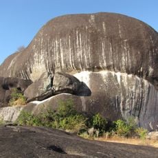
This formation appeared more than 1.7 billion years ago during Precambrian times and is among the oldest rock on Earth. Wind, water and time wore down the original mountains and shaped the current landscape.
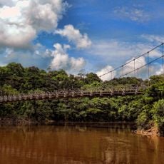
Indigenous peoples have lived in these forests for centuries and use the land for their daily needs. Their communities grow cassava, gather fruits and fish in the rivers that run through the area.
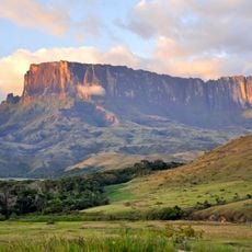
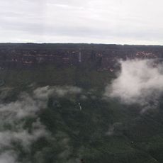
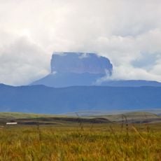
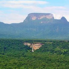
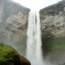
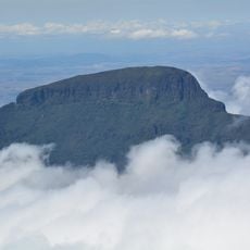
Mount Roraima marks the highest point at 2,772 metres (9,094 feet) and forms a natural border between three countries. The terrain shifts between dense jungle, rivers and steep rock outcrops, requiring careful planning.
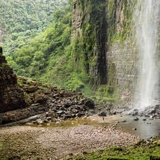
More than 13,000 plant species grow in these forests, including many found nowhere else. The area also divides water between the Amazon and Orinoco, linking two major river systems.
The community of curious travelers
AroundUs brings together thousands of curated places, local tips, and hidden gems, enriched daily by 60,000 contributors worldwide.