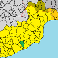
Larnaca District, Administrative district in southeastern Cyprus
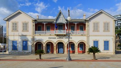
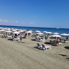
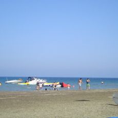
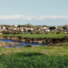
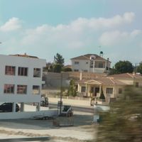
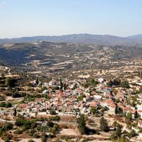
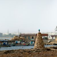
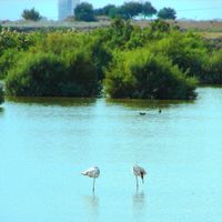
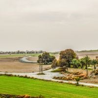
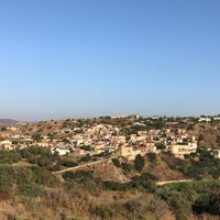
Larnaca District is an administrative region in southeastern Cyprus that extends from the Mediterranean coast into inland areas. It comprises various coastal towns, several municipalities, and rural settlements across diverse terrain.
The district originated from Ottoman administrative divisions that continued under British control starting in 1878. Modern Cyprus maintained these administrative boundaries as the foundation for contemporary regional organization.
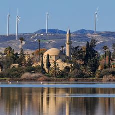
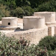
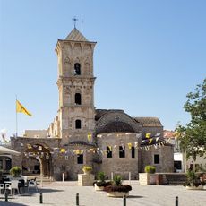
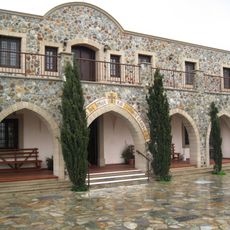
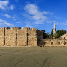
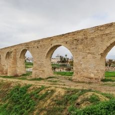
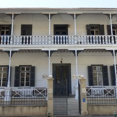
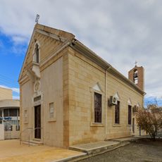
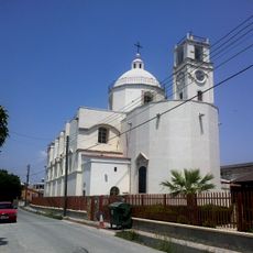
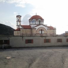
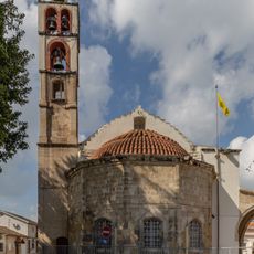
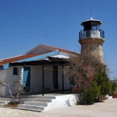
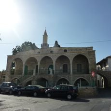
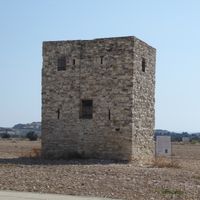
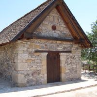
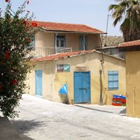
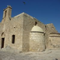
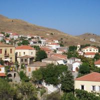
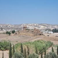
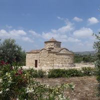
The region contains archaeological sites like Choirokoitia and religious structures that speak to thousands of years of settlement. Walking through traditional villages, you see stone buildings and layouts that reflect how people have lived along the Mediterranean.
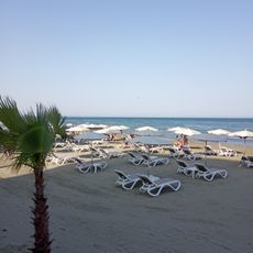
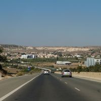
Larnaca International Airport serves as the main entry point to the island for many visitors. A local bus network connects the various municipalities and villages throughout the district.
Three communities in this territory - Melouseia, Tremetousia, and Arsos - lie in areas administered by the north since 1974. These enclaves reveal the island's complex division as a lived reality for residents.
Location: Cyprus
Capital city: Larnaca
Part of: Cyprus
Shares border with: Limassol District, Nicosia District, Famagusta District, Akrotiri and Dhekelia
Website: http://moi.gov.cy
GPS coordinates: 34.91692,33.63749
Latest update: December 7, 2025 20:20
Hala Sultan Tekke
4.3 km
Khirokitia
30 km
Church of Saint Lazarus, Larnaca
637 m
Stavrovouni Monastery
18.8 km
Machairas Monastery
40.8 km
Larnaca Castle
712 m
Bekir Pasha Aqueduct
3.6 km
Mazotos Camel Park
17.6 km
Panagia tis Angeloktistis
9.8 km
Larnaca Synagogue
662 m
Pierides Museum
131 m
Governor's Beach
40.2 km
Larnaca District Archaeological Museum
446 m
Kyriazis Medical Museum
624 m
Mackenzie Beach
2.9 km
Armenian Genocide Memorial in Larnaca
110 m
Kastella
2.1 km
Sourp Stepanos
280 m
Faros Beach
11.2 km
Archaeological museum Larnaca
447 m
Dipotamos Reservoir
26.5 km
Klirou Reservoir
44.3 km
Terra Santa Our Lady of Grace Catholic Church
1.3 km
Panagidia Galaktotrofousa monastery
24.3 km
Cathedral of the Holy Transfiguration of the Savior
1.4 km
Cape Kiti Lighthouse
11.6 km
Djami Kebir mosque
705 m
Monument of Apollonios of Kition
485 mVisited this place? Tap the stars to rate it and share your experience / photos with the community! Try now! You can cancel it anytime.
Avdellero
Anglisides
Agia Anna
Agioi Vavatsinias
Agios Theodoros
Athienou
Alaminos
Alethriko
Anafotida
Aplanta
Aradhippou
Arsos, Larnaca
Vavatsinia
Vavla
Delikipos
Dromolaxia-Meneou Municipality
Larnaca Municipality
Zygi
Kalavasos
Kalo Chorio
Kato Drys
Kato Lefkara
Kellia
Kivisili
Kiti, Cyprus
Klavdia
Kornos
Kosi
Kofinou
Lageia
Livadia
Mazotos
Mari
Maroni
Melini
Melouseia
Menogeia
Mosfiloti
Xylotymvou
Xylofagou
Odou
Ora
Ormideia
Oroklini
Pano Lefkara
Perivolia
Pergamos, Cyprus
Petrofani
Pyla
Pyrga
Skarinou
Softades
Tersefanou
Tochni
Tremetousia
Troulloi
Choirokoitia
Psematismenos
Psevdas
Discover hidden gems everywhere you go!
From secret cafés to breathtaking viewpoints, skip the crowded tourist spots and find places that match your style. Our app makes it easy with voice search, smart filtering, route optimization, and insider tips from travelers worldwide. Download now for the complete mobile experience.
A unique approach to discovering new places❞
— Le Figaro
All the places worth exploring❞
— France Info
A tailor-made excursion in just a few clicks❞
— 20 Minutes