
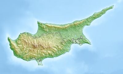
Agridaki, community in Kyrenia District, Republic of Cyprus
Location: Kyrenia District
Part of: Kyrenia District
Shares border with: Lapithos, Sysklipos, Agios Ermolaos, Kontemenos, Larnakas Lapithou
GPS coordinates: 35.30835,33.15266
Latest update: April 11, 2025 12:51
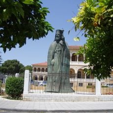
Church of Cyprus
22.8 km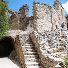
Saint Hilarion Castle
11.7 km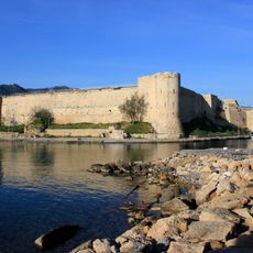
Kyrenia Castle
16.1 km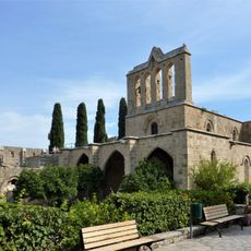
Bellapais Abbey
18.4 km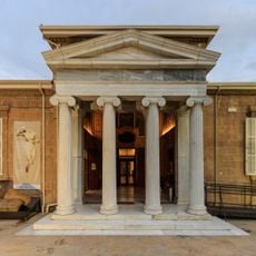
Cyprus Museum
23.9 km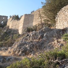
Buffavento Castle
23.5 km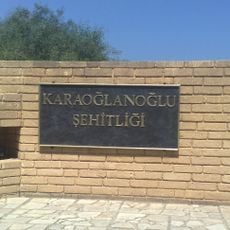
Karaoğlanoğlu Şehitliği
9 km
Mehmet Akif Avenue
22.1 km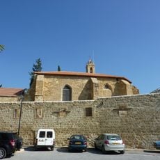
Notre Dame de Tyre
23.9 km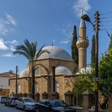
Arabahmet Mosque
23.7 km
Acheiropoietos Monastery
6.1 km
Church of the Holy Cross, Nicosia
23.9 km
Nicosia municipal gardens
23.7 km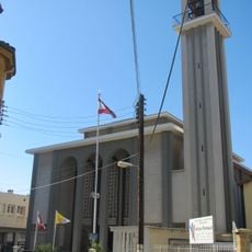
Our Lady of Grace Cathedral
23.9 km
Laleli Mosque, Nicosia
23.9 km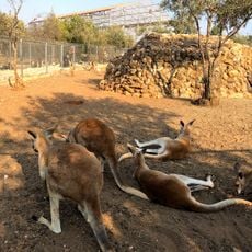
Melios Zoo
22 km
Монастырь Святого Пантелеимона
7 km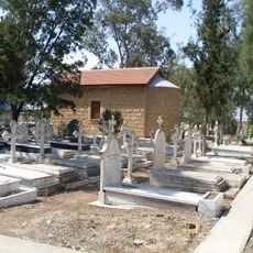
Sourp Haroutiun Chapel, Nicosia
23.5 km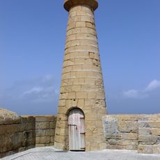
Kyrenia lighthouse (1907)
15.7 km
Abbey of St Theodor
23.5 km
Phare de Kyrenia (1963)
16.1 km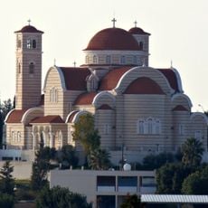
Saint Pantaleon Church, Nicosia
22.9 km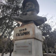
Juri Gagarin Statue in Nicosia Municipal Gardens
23.7 km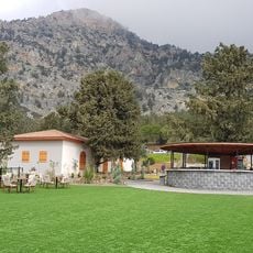
Taşkent Doğa Parkı
21.3 km
Municipal Theatre of Nicosia
23.8 km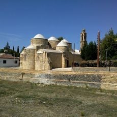
St Barnabas and St Hilarion, Peristerona
20.9 km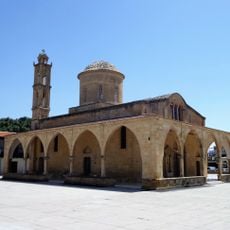
Saint Mamas Church
19 km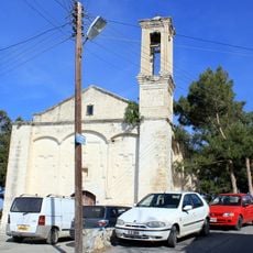
Vasileia Church
4.8 kmReviews
Visited this place? Tap the stars to rate it and share your experience / photos with the community! Try now! You can cancel it anytime.
Discover hidden gems everywhere you go!
From secret cafés to breathtaking viewpoints, skip the crowded tourist spots and find places that match your style. Our app makes it easy with voice search, smart filtering, route optimization, and insider tips from travelers worldwide. Download now for the complete mobile experience.

A unique approach to discovering new places❞
— Le Figaro
All the places worth exploring❞
— France Info
A tailor-made excursion in just a few clicks❞
— 20 Minutes