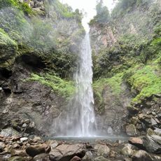
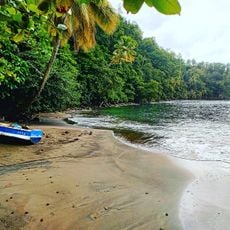
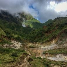
Saint Andrew Parish, Administrative parish in Dominica
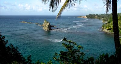
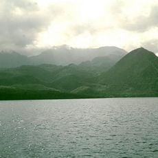
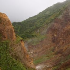
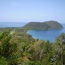
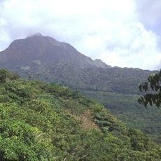
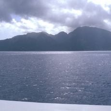
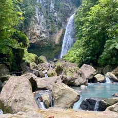
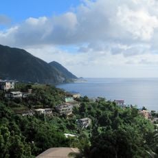
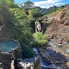
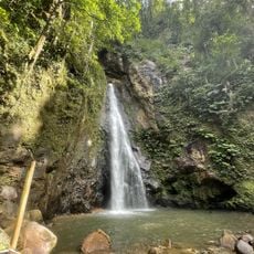
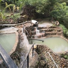
This administrative region spans along the eastern coastal area of Dominica and forms one of the country's largest divisions. It encompasses several villages and bays scattered across the coastline, along with elevated terrain extending inland.
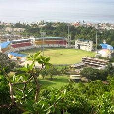
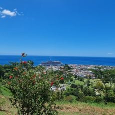
The area experienced a major development in 1961 with the opening of an airport that improved connections to the eastern part of the country. This new link made access easier for people and goods moving through the region.
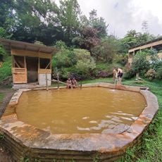
The fishing villages here maintain time-honored methods that shape daily life in the communities. Visitors can observe how locals work with boats and nets in ways passed down through generations.
The region is accessible by several road connections that run along the coast and link various villages. The best way to explore the area is with your own vehicle or organized transport, as public transit options are limited.
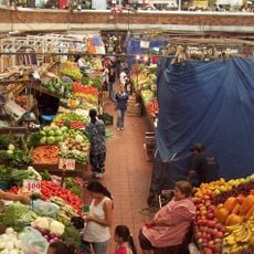
The area offers surprising space for farming despite its coastal location, with fields spreading across gentle slopes away from the shore. This blend of sea views and farmland shapes the landscape in unexpected ways.
Location: Dominica
Capital city: Wesley
Elevation above the sea: 240 m
Shares border with: Saint John Parish, Saint Peter Parish, Saint Joseph Parish, Saint David Parish
GPS coordinates: 15.56333,-61.31167
Latest update: December 11, 2025 18:03
Windsor Park
30.1 km
Morne Diablotins
11.4 km
Morne Trois Pitons National Park
33.2 km
Cabrits National Park
17.5 km
Dominica Botanical Gardens
30.1 km
Roseau Cathedral
30.6 km
Morne Watt
28.6 km
Morne aux Diables
14.4 km
Morne Diablotin National Park
11.8 km
Old Market of Roseau
30.8 km
Habitation Murat
35.1 km
Église de l'Immaculée-Conception de Grand-Bourg
35.6 km
Trafalgar Falls
26.3 km
Mero Beach
20.5 km
Victoria Falls
30.6 km
Bois d'Inde
36.9 km
Ti Kwen Cho Hot Springs
27.7 km
Morne Bruce
30.2 km
Screws sulphuric pools
27.4 km
Papillote Gardens
26.4 km
Chaudiere Pool
6.8 km
Syndicate Falls
13.7 km
Middleham Falls
24.1 km
Bongo Baths
27.5 km
Sari-Sari Waterfall
26.8 km
Toucari Bay Beach
17.2 km
Valley of Desolation
27.8 km
Waitukubuli trail Segment 3
31.8 kmVisited this place? Tap the stars to rate it and share your experience / photos with the community! Try now! You can cancel it anytime.
Discover hidden gems everywhere you go!
From secret cafés to breathtaking viewpoints, skip the crowded tourist spots and find places that match your style. Our app makes it easy with voice search, smart filtering, route optimization, and insider tips from travelers worldwide. Download now for the complete mobile experience.
A unique approach to discovering new places❞
— Le Figaro
All the places worth exploring❞
— France Info
A tailor-made excursion in just a few clicks❞
— 20 Minutes