Saint Patrick Parish
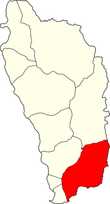
Saint Patrick Parish, Administrative parish in southeastern Dominica.
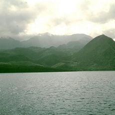
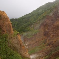
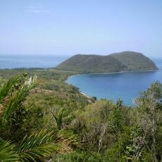
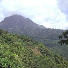
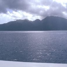
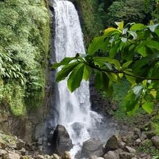
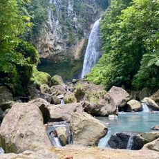
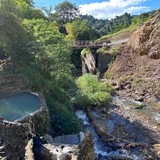
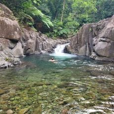
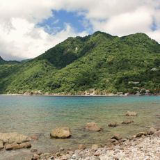
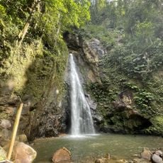
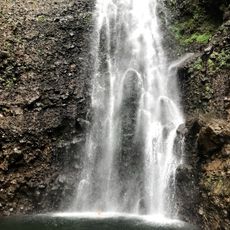
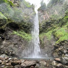
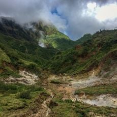
The territory spans roughly 80 square kilometers in southeastern Dominica and includes many villages and hamlets. The terrain is hilly, with significant elevation changes and dense vegetation that shapes the landscape.
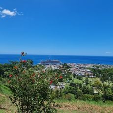
The area was established as one of ten administrative divisions on the island and has served regional governance since its formation. Grand Bay became its administrative center.
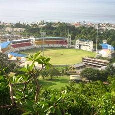
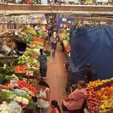
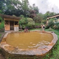
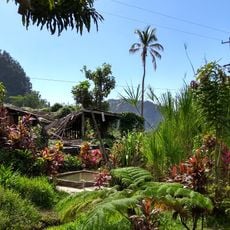
The area is shaped by villages like La Plaine and Bagatelle, where daily life is marked by local customs and community activities. These settlements show how residents keep their Dominican roots alive through regular gatherings and shared celebrations.
Access is via the main coastal road that connects Grand Bay to other regions and is passable during daylight hours. Planning ahead helps account for the varying elevations and road conditions.
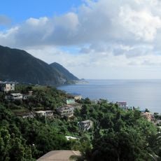
The region shows relatively dense settlement for Dominican standards, with villages nestled into the hilly landscape. This concentration of communities in the hills is distinctive for this part of the island.
Location: Dominica
Elevation above the sea: 586 m
Shares border with: Saint David Parish, Saint George Parish, Saint Luke Parish, Saint Mark Parish
GPS coordinates: 15.41667,-61.33333
Latest update: December 12, 2025 16:40
Windsor Park
13.9 km
Morne Patates
21.2 km
Morne Diablotins
12 km
Morne Trois Pitons National Park
17.5 km
Cabrits National Park
24.1 km
Dominica Botanical Gardens
13.9 km
Roseau Cathedral
14.4 km
Morne Watt
12.6 km
Morne aux Diables
24.4 km
Morne Diablotin National Park
11.7 km
Old Market of Roseau
14.6 km
Trafalgar Falls
9.9 km
Mero Beach
10.3 km
Victoria Falls
15.5 km
Bois d'Inde
20.6 km
Ti Kwen Cho Hot Springs
11.2 km
Morne Bruce
13.9 km
Screws sulphuric pools
11 km
Papillote Gardens
10 km
Chaudiere Pool
17.5 km
Scotts Head Lighthouse
22.8 km
Soufriere-Scott's Head Marine Reserve
22 km
Syndicate Falls
14.8 km
Middleham Falls
7.6 km
Bongo Baths
11.1 km
Sari-Sari Waterfall
12.5 km
Valley of Desolation
12 km
Waitukubuli trail Segment 3
15.3 kmVisited this place? Tap the stars to rate it and share your experience / photos with the community! Try now! You can cancel it anytime.
Discover hidden gems everywhere you go!
From secret cafés to breathtaking viewpoints, skip the crowded tourist spots and find places that match your style. Our app makes it easy with voice search, smart filtering, route optimization, and insider tips from travelers worldwide. Download now for the complete mobile experience.
A unique approach to discovering new places❞
— Le Figaro
All the places worth exploring❞
— France Info
A tailor-made excursion in just a few clicks❞
— 20 Minutes