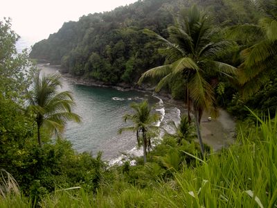
Saint David Parish, Administrative parish in eastern Dominica.
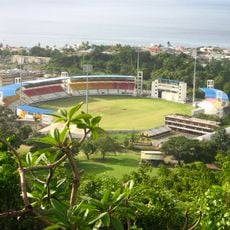
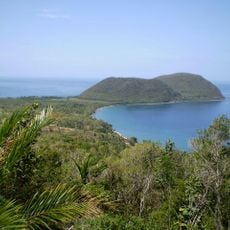
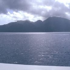
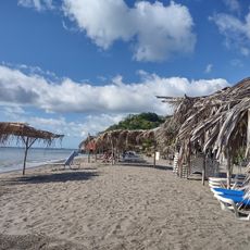
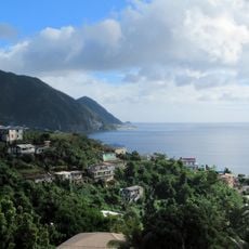
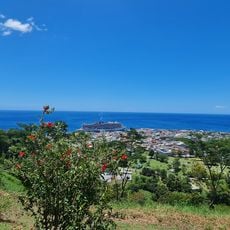
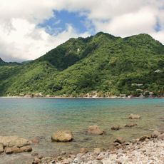
Saint David Parish is an administrative region on the eastern coast of Dominica with several settlements distributed across the area. Castle Bruce functions as the main town for this region, while other smaller places like Rosalie and Riviere Cyrique are also part of this territory.
The region was administratively organized during the colonial period under European rule and has maintained these boundaries through to today. This made it one of ten administrative divisions that structure the country.
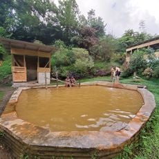
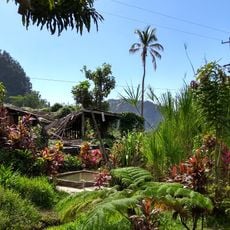
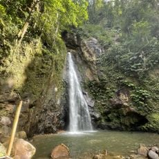
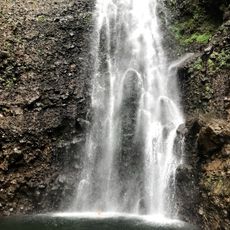
The Kalinago Territory in the eastern section is home to indigenous residents who maintain their traditional ways of life within their settled communities. Visitors can observe how these families preserve their language, crafts, and customs through daily activities in their villages.
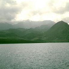
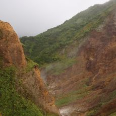
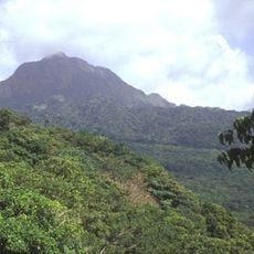
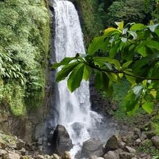
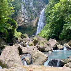
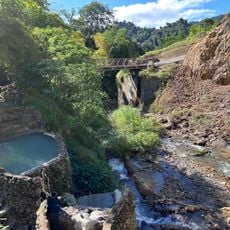
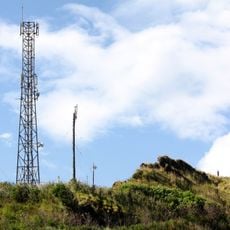
Access to different parts happens through coastal roads and mountain paths that pass through several small communities. Visitors should expect varying conditions depending on the route and season, particularly when exploring the more hilly terrain.
The area is home to the Kalinago, an indigenous group that has lived here for centuries and occupies its own territory within the larger region. This people have maintained a separate administrative structure of their own.
The community of curious travelers
AroundUs brings together thousands of curated places, local tips, and hidden gems, enriched daily by 60,000 contributors worldwide.