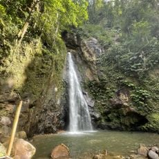
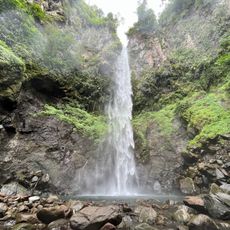
Saint Peter Parish, Administrative parish in western Dominica.
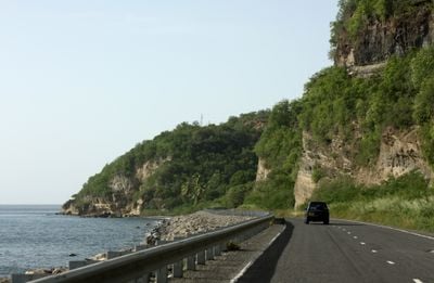
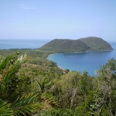
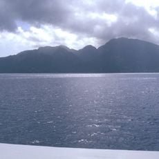
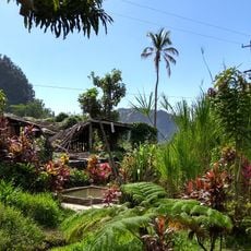
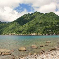
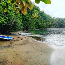
Saint Peter Parish is a first-level administrative division in Dominica that encompasses several communities across its landscape. The territory includes settlements such as Colihaut, Dublanc, and Bioche, combining coastal areas with elevated inland regions.
The parish system in Dominica was established during British colonial times to organize the island administratively and ecclesiastically. Saint Peter Parish developed as one of these divisions to manage and divide the island's territory.
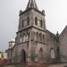
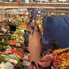
Colihaut serves as the social center where residents gather for community events and local celebrations. The parish maintains close-knit traditions that shape how people interact and organize their shared life.
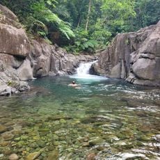
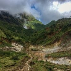
Access to services is centered on Colihaut as the main settlement in the area. The varying terrain means some routes pass through hilly land and accessibility can differ depending on weather and season.
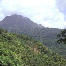
The area maintains one of the lowest population densities among Dominican parishes with considerably fewer residents per square kilometer than other regions. This contributes to its rural and sparsely populated character.
The community of curious travelers
AroundUs brings together thousands of curated places, local tips, and hidden gems, enriched daily by 60,000 contributors worldwide.