Enable Location

We need your location to show you interesting places around you

Discover nearby places

Find interesting locations and hidden gems around you

Precise directions

Get accurate directions and distances to places

Your location is never shared with other users. It's only used when you tap the location button.

Geography of Dominica

Log in to your account

Start exploring — it's free

Trusted by 69,794 travelers worldwide

Continue with Google
Continue with Apple
or

We will send you a code to connect

By continuing, you accept our Terms and Conditions and our Privacy Policy

Check your inbox

We've sent a pincode in your inbox. Please enter the code below.

Geography of Dominica
Discussion Reviews 1 Photos
17k Popularity

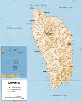
Geography of Dominica, Geography of the island country of Dominica

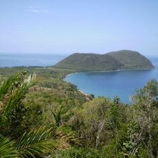
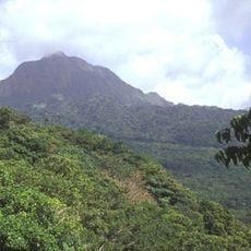
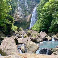
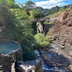
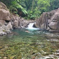
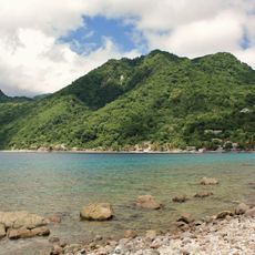
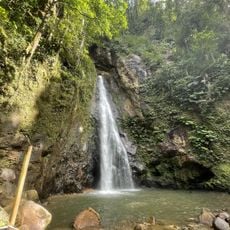
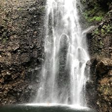
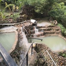
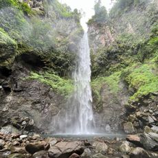
Dominica is a geographic region in the Lesser Antilles shaped by steep volcanic mountains and thick rainforests. The landscape is crisscrossed by numerous rivers, hot springs, and crater lakes, with the highest peak, Morne Diablotins, rising above 1,400 meters (4,600 feet).

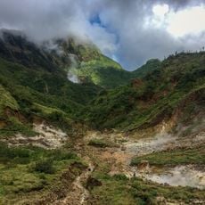
The island formed millions of years ago through volcanic activity and has been shaped by repeated eruptions and seismic forces. These geological processes created the rugged landscape with steep slopes and deep gorges that define it to this day.

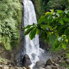
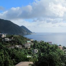
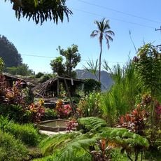
The island holds deep meaning for its people as a natural treasure, with its name reflecting the abundance of life found here. Daily life is shaped by the rivers, forests, and hot springs that are woven into the community's relationship with the land.

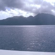
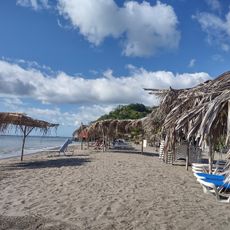
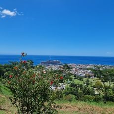
The climate is tropical and warm year-round, with temperatures typically between 75 and 86 degrees Fahrenheit (24 to 30 degrees Celsius) along the coast. The rainy season from June to November brings frequent showers and makes the eastern side much wetter, so the west coast is often more accessible for visitors.

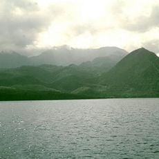
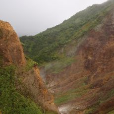
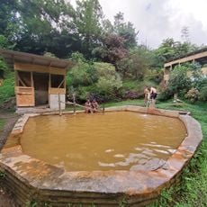
Boiling Lake is the second largest hot lake in the world and sits in a starkly steep crater landscape that few visitors know about. The lake is heated by underground volcanic forces and shows how active geological processes still work beneath the island today.

The community of curious travelers

AroundUs brings together thousands of curated places, local tips, and hidden gems, enriched daily by 60,000 contributors worldwide.

Start exploring
Part of
Windward Islands
GPS coordinates
15.41667,-61.33333
Latest update
February 17, 2026 01:20
Reviews
Share your experience

No review yet

Discussions
Start a discussion...

No discussion yet

« Geography of Dominica - Geography of the island country of Dominica » is provided by Around Us (aroundus.com). Images and texts are derived from Wikimedia project under a Creative Commons license. You are allowed to copy, distribute, and modify copies of this page, under the conditions set by the license, as long as this note is clearly visible.

Discover hidden gems everywhere you go!

From secret cafés to breathtaking viewpoints, skip the crowded tourist spots and find places that match your style. Our app makes it easy with voice search, smart filtering, route optimization, and insider tips from travelers worldwide. Download now for the complete mobile experience.

Around Us App Screenshot

A unique approach to discovering new places

Le Figaro

All the places worth exploring

France Info

A tailor-made excursion in just a few clicks

20 Minutes

Around Us
Travel Guide & Maps
Download

Send to your phone

QR Code
1

Open the camera app on your mobile.

2

Point at the QR code with your camera. A notification will appear.

3

Tap the notification to open the link.