Enable Location

We need your location to show you interesting places around you

Discover nearby places

Find interesting locations and hidden gems around you

Precise directions

Get accurate directions and distances to places

Your location is never shared with other users. It's only used when you tap the location button.

South Labuhanbatu

Log in to your account

Start exploring — it's free

Trusted by 62,035 travelers worldwide

Continue with Google
Continue with Apple
or

We will send you a code to connect

By continuing, you accept our Terms and Conditions and our Privacy Policy

Check your inbox

We've sent a pincode in your inbox. Please enter the code below.

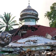
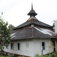
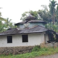
South Labuhanbatu, Administrative region in North Sumatra, Indonesia

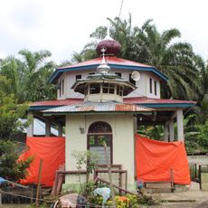
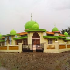
South Labuhanbatu is an administrative region in North Sumatra divided into five districts across flat terrain. The area consists of rural villages, river plains, and towns connected by roads that serve local agriculture and commerce.

The regency formed in 2008 when it separated from the larger Labuhanbatu region to become an independent administrative unit. This division allowed local communities to manage their own affairs and development.

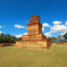
Javanese and Batak communities live here alongside each other, each maintaining their own languages and local customs in daily life. These groups shape the markets, gatherings, and social rhythm of the towns and villages.

Kotapinang serves as the administrative hub and main entry point for exploring the different districts. Visitors should expect rural infrastructure and plan flexibility when traveling to remote villages or agricultural areas.

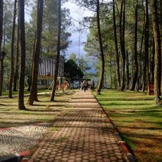
The region features natural springs such as Pandayangan Indah and artificial reservoirs that serve as local recreational spots. These water sources play an important role in both the local economy and how residents spend their leisure time.

The community of curious travelers

AroundUs brings together thousands of curated places, local tips, and hidden gems, enriched daily by 60,000 contributors worldwide.

Start exploring
Location
Capital city
Kotapinang
Elevation above the sea
19 m
Shares border with
Labuhanbatu, North Padang Lawas, Rokan Hilir
Address
South Labuhan Batu Regency, North Sumatra, Indonesia
GPS coordinates
1.98278,100.09750
Latest update
December 7, 2025 10:06
« South Labuhanbatu - Administrative region in North Sumatra, Indonesia » is provided by Around Us (aroundus.com). Images and texts are derived from Wikimedia project under a Creative Commons license. You are allowed to copy, distribute, and modify copies of this page, under the conditions set by the license, as long as this note is clearly visible.

Discover hidden gems everywhere you go!

From secret cafés to breathtaking viewpoints, skip the crowded tourist spots and find places that match your style. Our app makes it easy with voice search, smart filtering, route optimization, and insider tips from travelers worldwide. Download now for the complete mobile experience.

Around Us App Screenshot

A unique approach to discovering new places

Le Figaro

All the places worth exploring

France Info

A tailor-made excursion in just a few clicks

20 Minutes

Around Us
Travel Guide & Maps
Download

Send to your phone

QR Code
1

Open the camera app on your mobile.

2

Point at the QR code with your camera. A notification will appear.

3

Tap the notification to open the link.