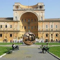
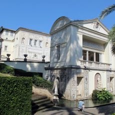
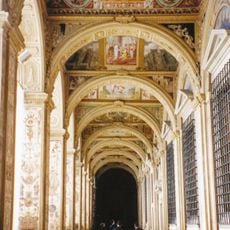
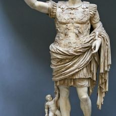
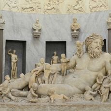
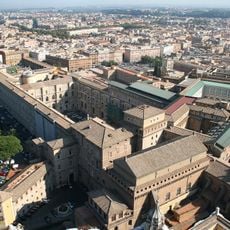
Gallery of Maps, Geographical museum in Vatican Museums, Vatican City
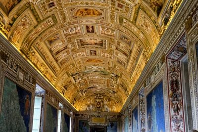
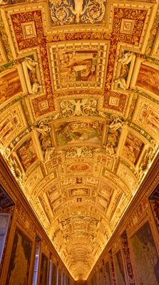
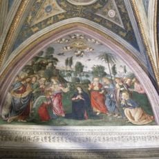
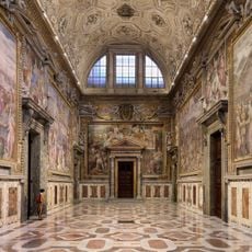
The Gallery of Maps is a long corridor in the Vatican Museums lined with large-scale wall paintings of Italian territories. The walls display painted maps on both sides, while the vaulted ceiling features golden stuccowork and allegorical scenes.
Pope Gregory XIII commissioned Dominican friar Ignazio Danti to design these geographical representations, completed between 1580 and 1583. The project aimed to document knowledge of Italian territories and symbolically reinforce papal authority over these regions.
The regions are oriented with the viewer facing south, placing the sea at the top of each panel. This unusual perspective reflects cartographic practice of the period and gives the corridor its own visual logic.
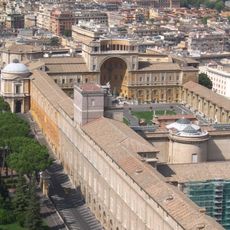
The corridor lies on the route to the Sistine Chapel and can be crowded with large visitor groups, so early morning or late afternoon visits work best. The length of the space allows you to linger at less busy spots and examine details more closely.
Each map shows not only coastlines and towns but also mythological figures and maritime scenes that reflect how the region was understood in the 16th century. Some representations include naval battles or religious episodes connected to specific locations.
The community of curious travelers
AroundUs brings together thousands of curated places, local tips, and hidden gems, enriched daily by 60,000 contributors worldwide.