
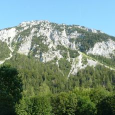
Hochgern, mountain in the Chiemgau Alps at the border Salzburg / Bavaria
Location: Unken
Location: Schneizlreuth
Elevation above the sea: 1,740 m
GPS coordinates: 47.68116,12.70509
Latest update: June 16, 2025 15:55
Rauschberg
6 km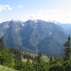
Sonntagshorn
712 m
Unternberg
7.2 km
Ristfeuchthorn
5.9 km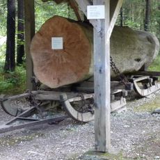
Holzknechtmuseum Ruhpolding
5.9 km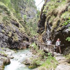
Weißbach
7.3 km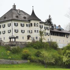
Schloss Oberrain, Unken
4.5 km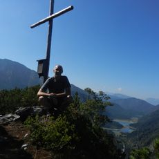
Seekopf (Ruhpolding)
7.1 km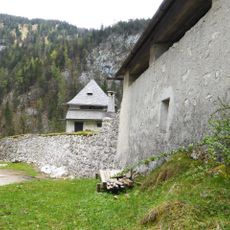
Festung Kniepass
5.5 km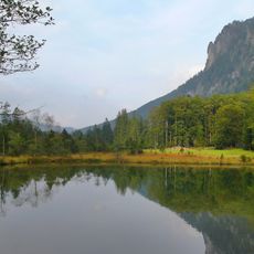
Östliche Chiemgauer Alpen
3.9 km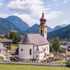
Pfarrkirche hl. Jakobus d.Ä., Unken
3.8 km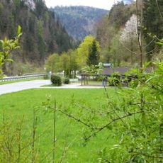
Kniepass
5.5 km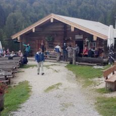
Harbachalm
4.9 km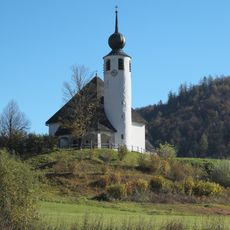
St. Vinzenz
6.7 km
Aschau
6.8 km
Schutz eines Landschaftsstreifens beiderseits der Bundesstraße 305 (Alpenstraße) im Abschnitt Zwing-Sichertsau und des Rauschberges
7.5 km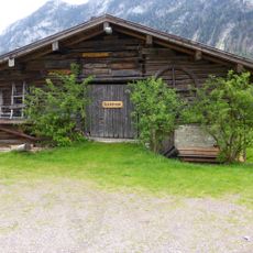
Kalchofengut, Unken
4.1 km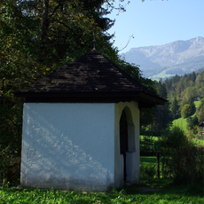
Prechlerkapelle, Lofer-Hallenstein
6.1 km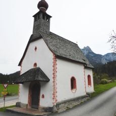
Ortskapelle hl. Heinrich, Reith
6.4 km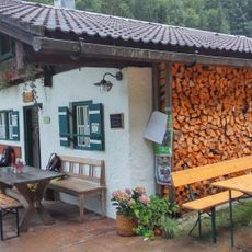
Bichler Alm
4.7 km
LSG Oberes Saalachtal mit Wendelberg und Kienberg, Gemeinde Schneizlreuth
7.3 km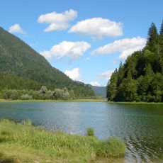
Naturschutzgebiet 'Östliche Chiemgauer Alpen'
3.8 km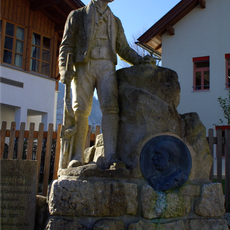
Freiheitskämpferdenkmal, Unken
3.9 km
Östliche Chiemgauer Alpen
4.3 km
Maier Knogl
6.5 km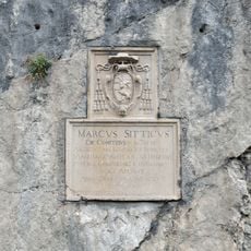
Gedenktafel und Felsbilder
5.1 km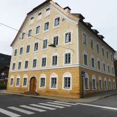
Kramerwirt, Unken
4 km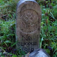
Grenzstein
4 kmReviews
Visited this place? Tap the stars to rate it and share your experience / photos with the community! Try now! You can cancel it anytime.
Discover hidden gems everywhere you go!
From secret cafés to breathtaking viewpoints, skip the crowded tourist spots and find places that match your style. Our app makes it easy with voice search, smart filtering, route optimization, and insider tips from travelers worldwide. Download now for the complete mobile experience.

A unique approach to discovering new places❞
— Le Figaro
All the places worth exploring❞
— France Info
A tailor-made excursion in just a few clicks❞
— 20 Minutes