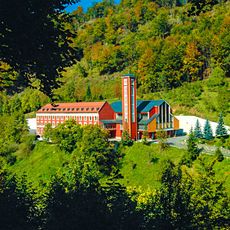
Geography of Bosnia and Herzegovina, Mountain ranges and river systems in Bosnia and Herzegovina, Europe.
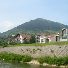
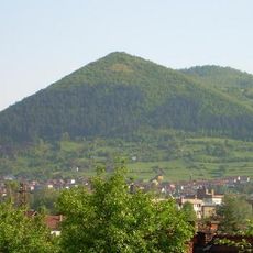
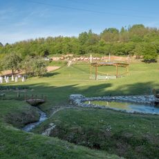
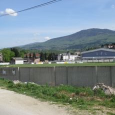
Bosnia and Herzegovina features mountainous terrain in the west with the Dinaric Alps and gentler hilly regions in the middle. Several major rivers flow through the country: the Sava in the north, the Neretva in the south, and the Vrbas in the west shape its water systems.
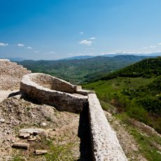
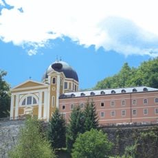
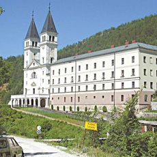
The land's geographic form influenced where people settled since the 15th century, shaping how towns and cities grew. Settlement patterns established under Ottoman rule continued through the Austro-Hungarian period and persist in the country's structure today.
The landscape's variety shapes how people identify with their regions, as the north and west follow different patterns than the south and east. These geographic differences influence local livelihoods, farming methods, and how communities relate to their surroundings.
The mountainous regions require careful planning when traveling and exploring, as routes may be more or less accessible depending on the season. Visitors wanting to see different areas should be aware of varying elevations and road conditions.
The country has access to the Adriatic Sea through Neum, a narrow opening about 20 kilometers long on its coastline. This slender sea corridor sits between two sections of Croatian territory, making it a geographic rarity for the region.
The community of curious travelers
AroundUs brings together thousands of curated places, local tips, and hidden gems, enriched daily by 60,000 contributors worldwide.