Enable Location

We need your location to show you interesting places around you

Discover nearby places

Find interesting locations and hidden gems around you

Precise directions

Get accurate directions and distances to places

Your location is never shared with other users. It's only used when you tap the location button.

Cumilla District

Log in to your account

Start exploring — it's free

Trusted by 61,999 travelers worldwide

Continue with Google
Continue with Apple
or

We will send you a code to connect

By continuing, you accept our Terms and Conditions and our Privacy Policy

Check your inbox

We've sent a pincode in your inbox. Please enter the code below.

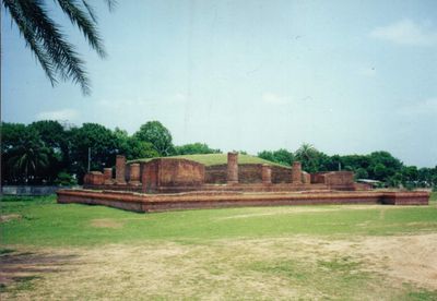
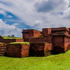
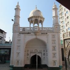
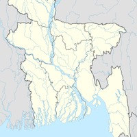
Cumilla District, Administrative district in Chattogram Division, Bangladesh

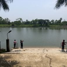
Cumilla is an administrative district in Chattogram Division that stretches between the Meghna and Gumti rivers and includes seventeen sub-districts. The landscape consists mainly of flat plains and agricultural land, dotted with small villages and markets.

The district was founded in 1790 as Tippera during the rule of the British East India Company. After the independence of Bangladesh in 1971, it received its current name and remained an important administrative center.

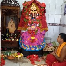
Residents keep alive traditional folk music forms such as Palli Geeti and Bhatiyali, which tell stories from rural life. These songs are often performed at local festivals and gatherings, with melodies that follow the rhythm of the seasons.

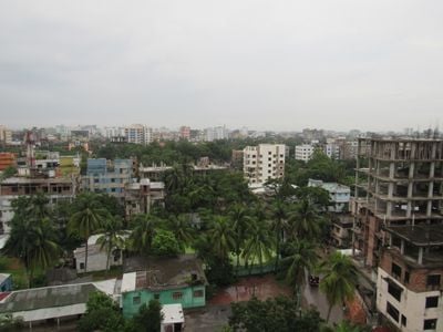
The city of Cumilla serves as the administrative center and provides access to government offices and transport links to surrounding regions. Buses and minibuses run regularly between the sub-districts, making it easier to move around the area.

In some villages, traditional weaving workshops are still operated, where craftsmen produce fabrics on wooden looms. These workshops are often located along main roads and can be observed by visitors who want to follow the production process.

The community of curious travelers

AroundUs brings together thousands of curated places, local tips, and hidden gems, enriched daily by 60,000 contributors worldwide.

Start exploring
Capital city
Cumilla
Shares border with
Feni District, Noakhali District, Chandpur District, Munshiganj District, Narayanganj District, Brahmanbaria District
Address
Comilla District, Bangladesh
GPS coordinates
23.45830,91.18330
Latest update
December 14, 2025 17:35
« Cumilla District - Administrative district in Chattogram Division, Bangladesh » is provided by Around Us (aroundus.com). Images and texts are derived from Wikimedia project under a Creative Commons license. You are allowed to copy, distribute, and modify copies of this page, under the conditions set by the license, as long as this note is clearly visible.

Discover hidden gems everywhere you go!

From secret cafés to breathtaking viewpoints, skip the crowded tourist spots and find places that match your style. Our app makes it easy with voice search, smart filtering, route optimization, and insider tips from travelers worldwide. Download now for the complete mobile experience.

Around Us App Screenshot

A unique approach to discovering new places

Le Figaro

All the places worth exploring

France Info

A tailor-made excursion in just a few clicks

20 Minutes

Around Us
Travel Guide & Maps
Download

Send to your phone

QR Code
1

Open the camera app on your mobile.

2

Point at the QR code with your camera. A notification will appear.

3

Tap the notification to open the link.