Enable Location

We need your location to show you interesting places around you

Discover nearby places

Find interesting locations and hidden gems around you

Precise directions

Get accurate directions and distances to places

Your location is never shared with other users. It's only used when you tap the location button.

Ypres

Log in to your account

Join the adventure

Create your free account and start exploring (like 60k+ others)

We will send you a code to connect

or
Continue with Google
Continue with Apple
By continuing, you accept our Terms and Conditions and our Privacy Policy

Check your inbox

We've sent a pincode in your inbox. Please enter the code below.

Ypres, Medieval municipality in West Flanders, Belgium

Description

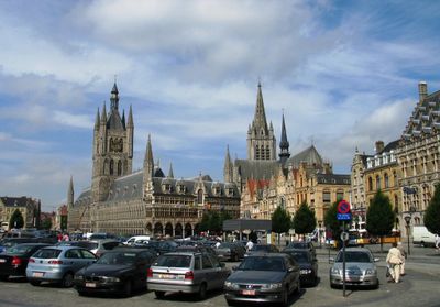
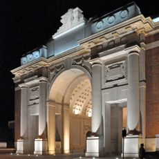
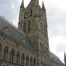
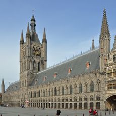
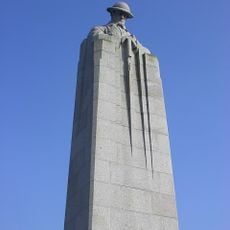
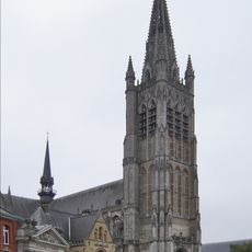
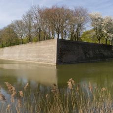
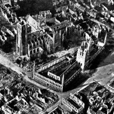
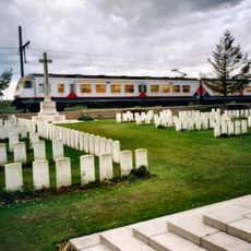
Ypres is a town in West Flanders that stretches along the Ieperlee River and is surrounded by numerous military memorials from the First World War. The rebuilt center shows brick facades and a large rectangular market square with medieval public buildings that were reconstructed after heavy destruction.

History

The settlement emerged in the Middle Ages as a trading center for textiles and rapidly gained importance through the cloth trade. During the First World War it lay on the front line and was almost completely destroyed before reconstruction took place over the following decades.

Culture

The name derives from the small river Ieperlee that runs through the town and has shaped the local character for centuries. Today residents use the reconstructed squares and streets for weekly markets and events that echo medieval traditions.

Practical

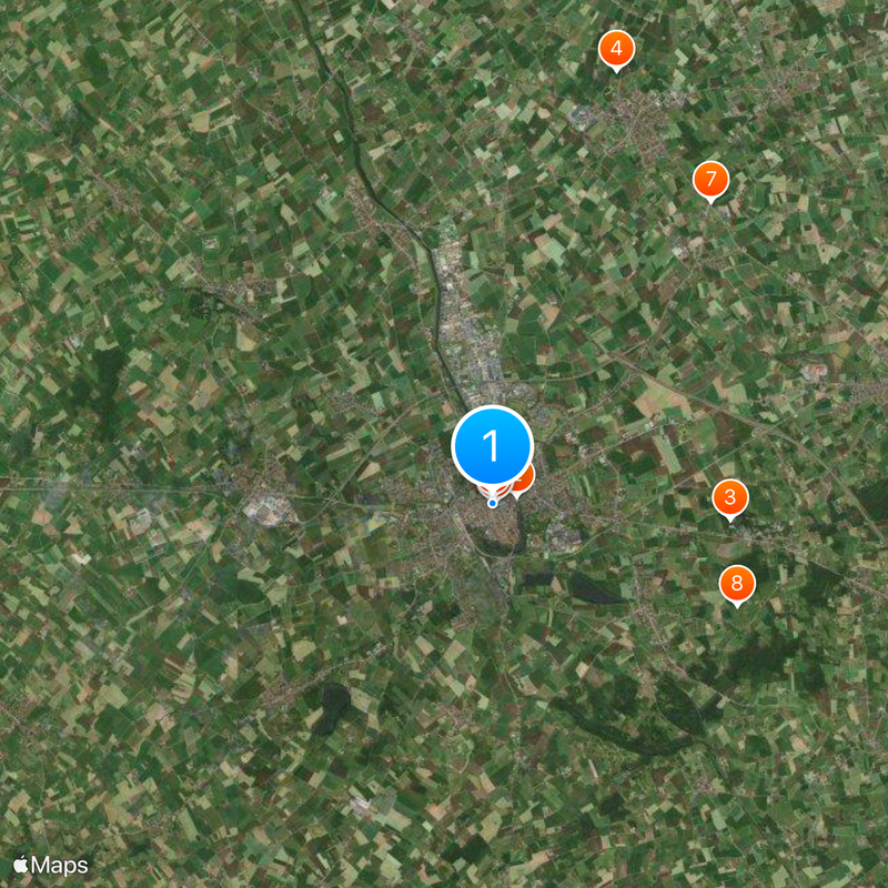
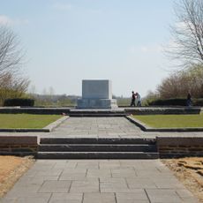
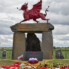
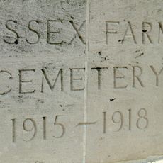
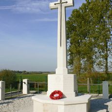
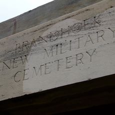
The old town can be explored on foot, and many memorials lie in the surrounding area outside the center. Visitors wishing to see several cemeteries may need a bicycle or car as distances between sites vary.

Did you know?

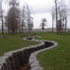
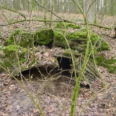
Beneath the ramparts and squares run medieval cellars and passages that served as shelters during the war. Some of these underground spaces are now accessible and show traces of both periods that shaped the town.

Inception
January 1, 1977
Capital city
Ieper
Operator
Stad Ieper
Part of
Police Zone ARRO Ieper, Emergency zone Westhoek
Shares border with
Vleteren, Heuvelland, Poperinge, Lo-Reninge, Langemark-Poelkapelle, Zonnebeke, Comines-Warneton
Phone
GPS coordinates
50.85083,2.88500
Latest update
December 14, 2025 21:42

AroundUs brings together thousands of curated places, local tips, and hidden gems, enriched daily by 60,000 contributors worldwide. Discover all places nearby (Arrondissement of Ypres).

« Ypres - Medieval municipality in West Flanders, Belgium » is provided by Around Us (aroundus.com). Images and texts are derived from Wikimedia project under a Creative Commons license. You are allowed to copy, distribute, and modify copies of this page, under the conditions set by the license, as long as this note is clearly visible.

Discover hidden gems everywhere you go!

From secret cafés to breathtaking viewpoints, skip the crowded tourist spots and find places that match your style. Our app makes it easy with voice search, smart filtering, route optimization, and insider tips from travelers worldwide. Download now for the complete mobile experience.

Around Us App Screenshot

A unique approach to discovering new places

Le Figaro

All the places worth exploring

France Info

A tailor-made excursion in just a few clicks

20 Minutes

Around Us
Travel Guide & Maps
Download

Send to your phone

QR Code
1

Open the camera app on your mobile.

2

Point at the QR code with your camera. A notification will appear.

3

Tap the notification to open the link.