Brussels-Capital Region

Log in to your account

AroundUs is a community-driven map of interesting places, built by curious explorers like you. It grows with every review, story, and photo you share.
Connect to save your favorite spots, contribute locations, and create personalized routes.
By continuing, you accept our Terms and Conditions and our Privacy Policy
Add to collection
Map
Suggest a change
Share

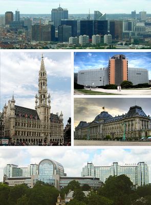
Brussels-Capital Region, Administrative region in Belgium.

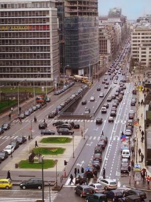
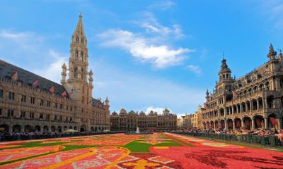
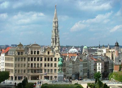
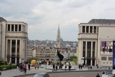
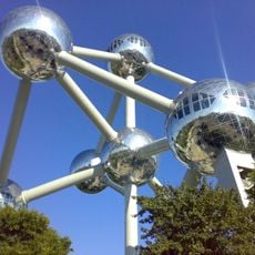
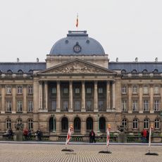
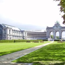
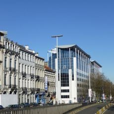
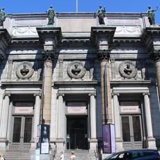
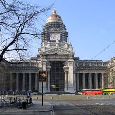
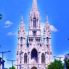
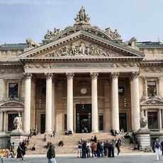
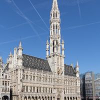
The Brussels-Capital Region is an administrative territory in Belgium composed of 19 separate municipalities that together form a single connected urban space. Wide boulevards link central districts with residential neighborhoods, parks and business quarters surrounding the historic core.

Until the late twentieth century this area was simply part of the surrounding territory, until it gained separate status with its own administration in 1989. The arrangement was designed to position the capital as a neutral zone between the two other parts of the country.

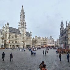
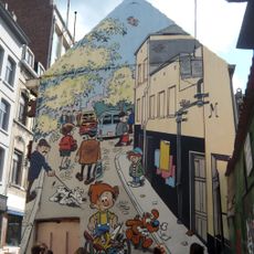
Conversations shift between French and Dutch depending on the neighborhood, and street signs appear in both languages throughout the area. Markets, cafes and smaller shops often bring together communities from many countries, creating a multilingual atmosphere that feels natural in everyday life.

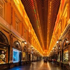
Most points of interest can be reached by metro, tram or bus, as the network connects central and outer districts well. From the stops it usually takes only a few minutes on foot to reach the main squares and buildings.

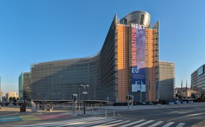
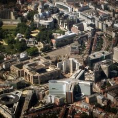
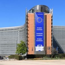
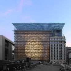
This territory hosts the main offices of the European Union and NATO, so international summits and political decisions often take place here. Many streets are therefore sometimes closed for security checks, which alters the city scene from time to time.

Location: Belgium

Location: French Community of Belgium

Location: Flemish Community

Inception: January 12, 1989

Elevation above the sea: 23 m

Part of: region, Belgium

Shares border with: Flemish Brabant, Flemish Region

Website: https://be.brussels

GPS coordinates: 50.84667,4.35250

Latest update: December 2, 2025 19:55

Photo spots in Brussels

Brussels offers photographers a range of architectural subjects spanning several centuries. The medieval Grand-Place forms the historic center, while Art Nouveau buildings such as the Musée Horta and Maison Cauchie document the artistic flourishing around 1900. The Atomium, built for the 1958 World's Fair, represents postwar modernism and has become one of the city's most photographed landmarks. The Galeries Royales Saint-Hubert ranks among Europe's oldest covered shopping arcades and displays the elegant construction techniques of the 19th century. The Mont des Arts connects different neighborhoods through a terraced garden with views over the old town. Parc du Cinquantenaire features neoclassical triumphal arches, while the Porte de Hal remains the last surviving medieval city gate. The Basilique du Sacré-Cœur in Koekelberg shows Art Deco influences in its monumental architecture. Quieter spots include the Étangs d'Ixelles, two ponds in the neighborhood of the same name, or the Forêt de Soignes, an extensive beech forest on the city's edge. Avenue Louise connects residential and commercial districts through various architectural styles. Smaller passages such as Galerie Bortier or Passage du Nord complement the major arcades. Rue des Bouchers is known for its restaurant facades, while Rue de la Cigogne features historic townhouses. Photographically interesting details include the Art Nouveau metro station Pannenhuis or the modernist Bâtiment CBR. The Château de Laeken serves as a royal residence and opens to visitors only during the annual opening of the Serres Royales. Le Botanique, a former botanical garden, now houses a cultural center. Place Royale and the adjacent Palais Royal form the political heart of the city. Smaller squares like Place Flagey offer local scenes away from the main routes.

Reviews

Visited this place? Tap the stars to rate it and share your experience / photos with the community! Try now! You can cancel it anytime.

Administrative divisions
« Brussels-Capital Region - Administrative region in Belgium » is provided by Around Us (aroundus.com). Images and texts are derived from Wikimedia project under a Creative Commons license. You are allowed to copy, distribute, and modify copies of this page, under the conditions set by the license, as long as this note is clearly visible.

Discover hidden gems everywhere you go!

From secret cafés to breathtaking viewpoints, skip the crowded tourist spots and find places that match your style. Our app makes it easy with voice search, smart filtering, route optimization, and insider tips from travelers worldwide. Download now for the complete mobile experience.

Around Us App Screenshot

A unique approach to discovering new places

Le Figaro

All the places worth exploring

France Info

A tailor-made excursion in just a few clicks

20 Minutes