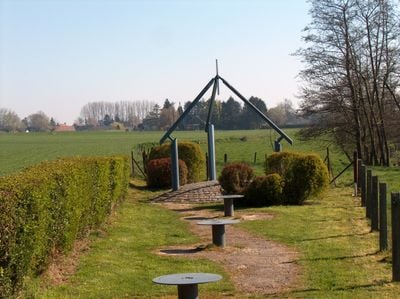
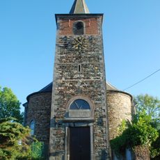
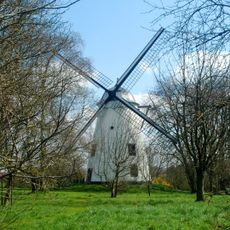
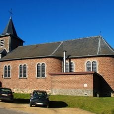
Geographical center of Belgium, Geographical center monument in Walhain, Belgium.
Belgium's geographical center monument is a metallic triangular structure with three pylons located in Nil-Saint-Vincent on Place du Tram. The precise coordinates of this point are 50.6401673 degrees North and 4.6667014 degrees East.
Belgium's original center was located in Ittre but shifted in 1919 after the Treaty of Versailles when the country received the eastern municipalities of Saint-Vith, Eupen, and Malmedy. This territorial expansion caused the central point to move to Walhain, where the monument now stands.
The monument displays a triangular shape representing Belgium's territory, while the three pylons above symbolize the country's administrative regions. Visitors can directly observe these national symbols and understand how Belgian identity is expressed through this simple geometric structure.
The site is freely accessible with parking available directly on the grounds for convenient visits. It is worth exploring on foot to fully understand the location and its surroundings.
The precise location was calculated by a French institute in 1995 and confirmed by Belgian authorities in 1996. This scientific verification makes it a reliable reference point for those visiting the geographical heart of the nation.
The community of curious travelers
AroundUs brings together thousands of curated places, local tips, and hidden gems, enriched daily by 60,000 contributors worldwide.