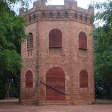
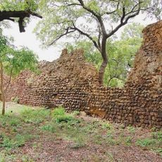
Cascades Region, Administrative region in southwestern Burkina Faso.
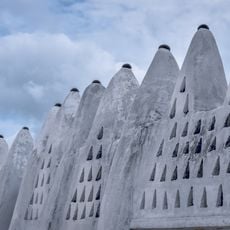
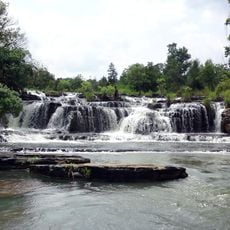
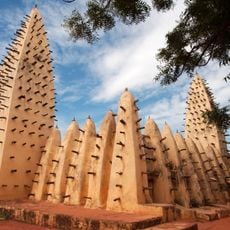
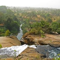
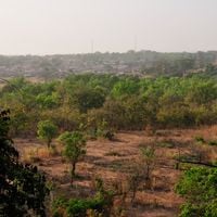
Cascades Region is an administrative area in southwestern Burkina Faso with plateaus, waterfalls, and hilly terrain that varies between 200 and 300 meters in elevation. The landscape is organized into two provinces, with Banfora serving as the capital and Comoé and Léraba as the administrative subdivisions.
The area gained its status as an administrative region in 2001, marking a significant restructuring of the country's administrative divisions. This new arrangement enabled better local governance and development of the two provinces under unified regional leadership.
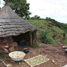
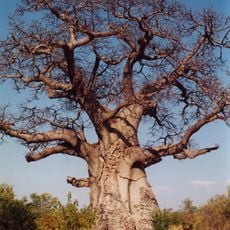
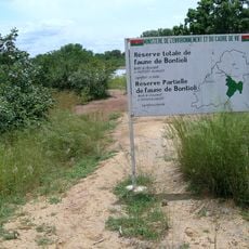
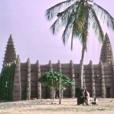
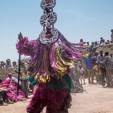
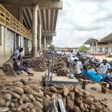
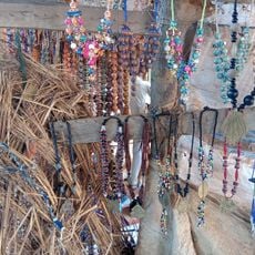
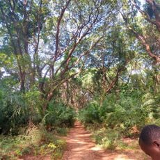
Local communities shape the character of this place through their deep connection with the landscape and use of traditional farming methods. People here live closely tied to the natural environment, relying on its resources for their daily work.
The region is accessible through a network of roads connecting major towns and natural sites, making travel between locations manageable. Visitors should be aware that road conditions can vary depending on the season, so careful planning before your trip is important.
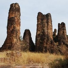
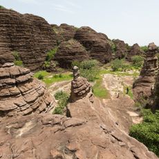
A peak called Mount Tenakourou rises to 747 meters here, making it the highest point in the entire country. This elevated landmark is noteworthy because the surrounding land is otherwise relatively flat, making this peak stand out as a distinct geographical feature.
The community of curious travelers
AroundUs brings together thousands of curated places, local tips, and hidden gems, enriched daily by 60,000 contributors worldwide.