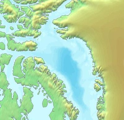
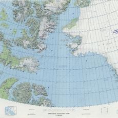
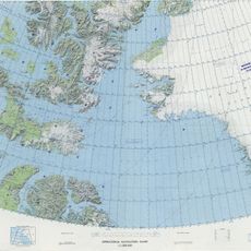
Baffin Bay, Sea between Greenland and Nunavut, Canada
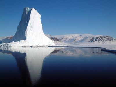
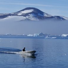
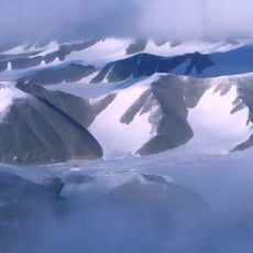
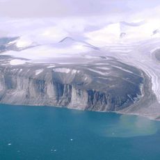
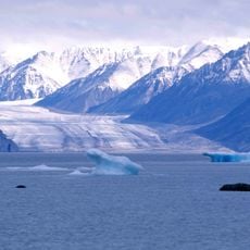
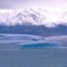
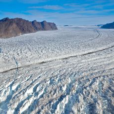
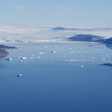
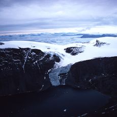
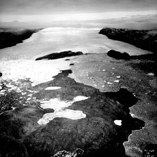
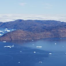
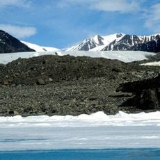
Baffin Bay is a sea separating Greenland from the Canadian territory of Nunavut, stretching roughly 1450 kilometers from the Arctic islands southward to the Davis Strait. Depths exceed 2100 meters in places, and the surface is marked by drifting ice floes and icebergs calved from coastal glaciers.
William Baffin charted these waters in 1616 while searching for the Northwest Passage, eventually lending his name to the region. Subsequent centuries saw repeated attempts to force a route through, until modern icebreakers made parts of the passage navigable.
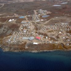
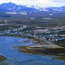
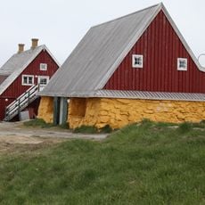
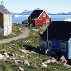
Communities along both shores maintain hunting and fishing traditions shaped by seasonal ice patterns and marine mammal migrations. This way of life follows rhythms set by the movement of pack ice and the availability of seals and whales.
Summer months between June and September offer the only reliable window for ship passages, when surface ice retreats enough to open channels. Even then, shifting weather and drifting icebergs can close routes quickly.
A magnitude 7.3 earthquake shook the region in 1933, still recognized as the strongest recorded north of the Arctic Circle. Though seismic events are rare this far north, the tremor showed that tectonic activity persists even beneath thick ice.
The community of curious travelers
AroundUs brings together thousands of curated places, local tips, and hidden gems, enriched daily by 60,000 contributors worldwide.