Muskoka District Municipality, Regional municipality in Central Ontario, Canada
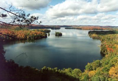
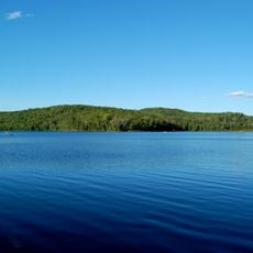
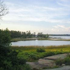
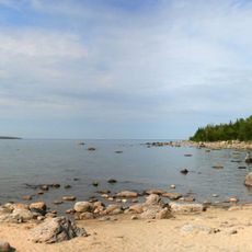
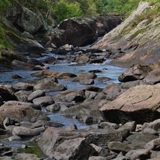
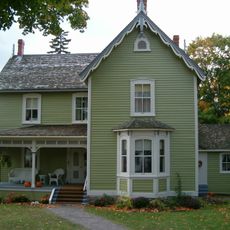
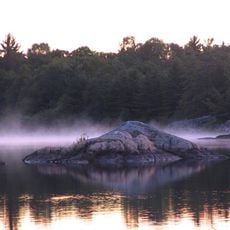
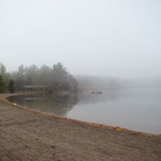
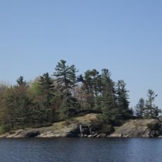
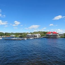
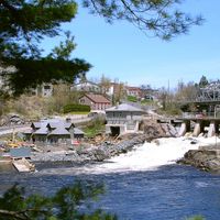
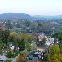
Muskoka District Municipality is a regional government area in central Ontario that covers a large portion of the Canadian Shield landscape. The territory holds many lakes surrounded by forests of pine, oak and maple, with small towns and cottages scattered along shorelines and roads.
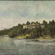
The area was organized as a district in 1868 to attract settlers looking for land and timber resources. Logging operations shaped early development before the region evolved into a recreational destination.
The Ojibwa people utilized Muskoka's resources for fishing and hunting before European settlers arrived, establishing a deep connection with the land.
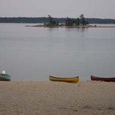
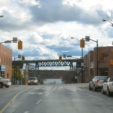
The region connects to Toronto via highways 11 and 400, with traffic often heavy during summer months. Many trails and viewpoints sit along the lakes, where parking fills quickly in warmer months.
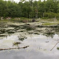
The name comes from the Ojibwa language and originally described the wet, marshy land between the lakes. Many place names across the region also carry Ojibwa terms that refer to natural features.
The community of curious travelers
AroundUs brings together thousands of curated places, local tips, and hidden gems, enriched daily by 60,000 contributors worldwide.