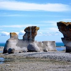
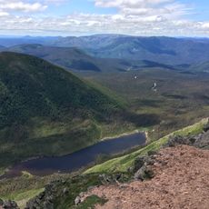
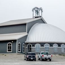
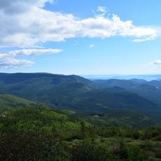
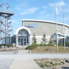
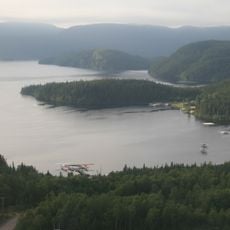
Caniapiscau Regional County Municipality, regional county municipality
The community of curious travelers
AroundUs brings together thousands of curated places, local tips, and hidden gems, enriched daily by 60,000 contributors worldwide.
Location
Inception
January 1, 1982
Capital city
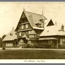
Fermont
Shares border with
Jamésie
Website
GPS coordinates
52.78333,-67.08333
Latest update
April 15, 2025 07:50