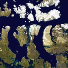
Melville Peninsula, Arctic peninsula in Nunavut, Canada.
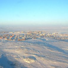
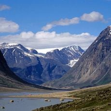
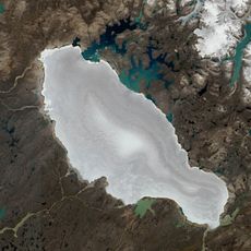
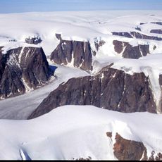
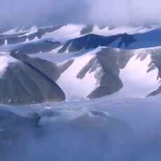
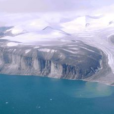
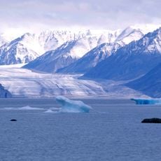
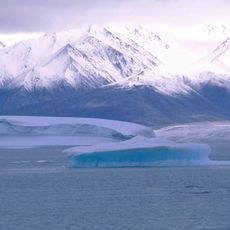
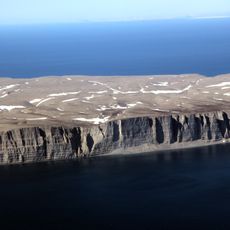
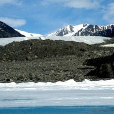
Melville Peninsula is an Arctic landmass extending roughly 250 miles between the Gulf of Boothia and Foxe Basin, characterized by tundra terrain, exposed rock formations, and low-lying coastal areas. The region has no trees, towns, or developed infrastructure anywhere on its surface.
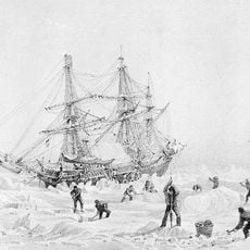
British naval explorer William Edward Parry mapped the eastern side of the peninsula in the early 1820s and named it after a British government official. This expedition was part of the broader European exploration of Arctic Canada during the 1800s.
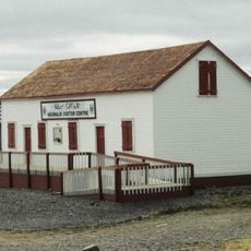
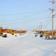
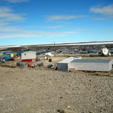
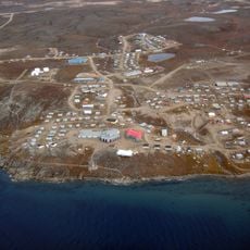
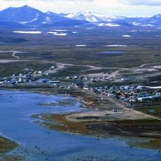
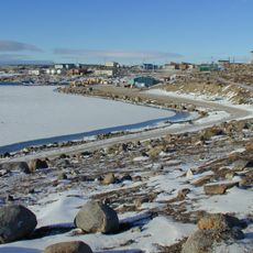
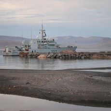
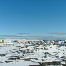
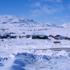
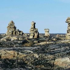
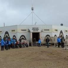
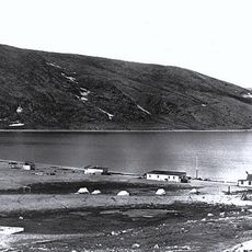
Inuit communities have hunted seals and whales across these lands for countless generations, with settlements like Naujaat and Sanirajak still depending on these traditional practices today. The local way of life remains closely tied to the rhythms of the Arctic ocean and seasons.
The peninsula is extremely remote with no regular transportation options or visitor facilities anywhere in the region. Anyone traveling there needs specialized equipment, careful planning, and should expect challenging Arctic conditions throughout their stay.
The peninsula connects to the mainland through a narrow strip of land called Rae Isthmus, creating a natural bridge between Arctic regions. This geographical link is often overlooked but helped early explorers understand the true shape of the Canadian north.
The community of curious travelers
AroundUs brings together thousands of curated places, local tips, and hidden gems, enriched daily by 60,000 contributors worldwide.