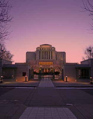
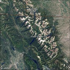
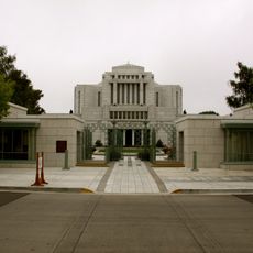
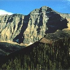
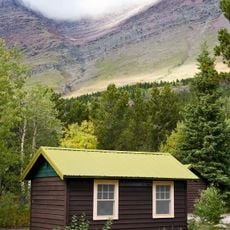
Cardston, town in Alberta
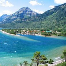
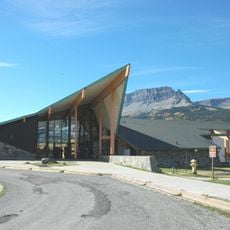
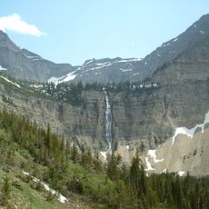
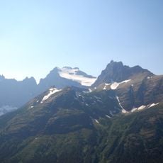
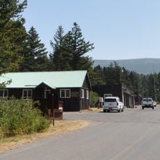
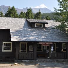
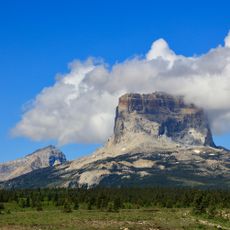
Cardston is a small town in southern Alberta located near the Rocky Mountains, serving as a regional center for the surrounding rural areas. The town has a traditional layout with a main street where local shops, restaurants, and public buildings are concentrated.
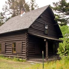
The town was founded in the 1880s and developed as a settlement in an agricultural region. Its early history is connected to the development of rural Alberta and the arrival of railway connections.
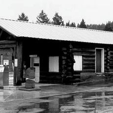
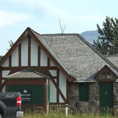
The town is easily accessible by car and has basic amenities like gas stations, grocery stores, and local services. Visitors find it a quiet place to pass through or stay briefly without requiring major tourist infrastructure.
The community of curious travelers
AroundUs brings together thousands of curated places, local tips, and hidden gems, enriched daily by 60,000 contributors worldwide.