Charleston Lake Provincial Park, Provincial park in United Counties of Leeds and Grenville, Canada
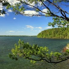
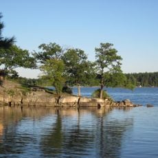
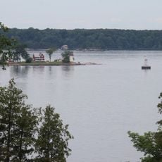
Charleston Lake Provincial Park covers 23.53 square kilometres on Charleston Lake near Athens, Ontario, in Leeds and the Thousand Islands. It lies in the Frontenac Axis, a southern extension of the Canadian Shield, so northern and southern species coexist. The lake has many islands and an irregular shoreline; Blue Mountain rises to 194 m inside the park.
The sources give no founding date for the park. Its land lies on the Frontenac Axis, a southern extension of the Canadian Shield, which is why northern species live alongside southern ones. Blue Mountain, at 194 m, was the highest point of the former Leeds County. The area also hosted a peregrine falcon reintroduction program.
The park's Frontenac Axis setting lets northern and southern species share the same woods; the black rat snake, Canada's largest snake, lives here. Blue Mountain's summit was the highest point of the former Leeds County. Hikers cross private land on a marked trail to reach it.
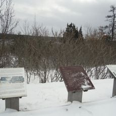
Blue Mountain, at 194 m the highest point of the former Leeds County, is reached by a marked trail from the junction of Warburton and Blue Mountain Roads, or by water from Huckleberry Hollow. Hikers cross private land with permission. Allow 2 to 2.5 hours on foot; cyclists carry their bikes over exposed granite, and a compass helps inexperienced hikers.
Blue Mountain, at 194 m, was the highest point of the former Leeds County. Hikers may cross private land on a marked trail to a 360° summit view; the walk takes about 2 to 2.5 hours, or 1.5 hours by bike, though cyclists must carry their bikes where granite juts out.
The community of curious travelers
AroundUs brings together thousands of curated places, local tips, and hidden gems, enriched daily by 93,074 contributors worldwide.