Enable Location

We need your location to show you interesting places around you

Discover nearby places

Find interesting locations and hidden gems around you

Precise directions

Get accurate directions and distances to places

Your location is never shared with other users. It's only used when you tap the location button.

Log in to your account

Start exploring — it's free

Trusted by 65,232 travelers worldwide

Continue with Google
Continue with Apple
or

We will send you a code to connect

By continuing, you accept our Terms and Conditions and our Privacy Policy

Check your inbox

We've sent a pincode in your inbox. Please enter the code below.

Waywayseecappo First Nation
Discussion Reviews Photo
6.6k Popularity

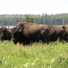
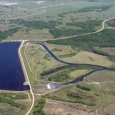
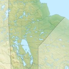
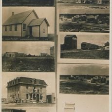
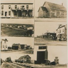
Waywayseecappo First Nation, Indigenous lands in Manitoba, Canada.

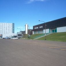
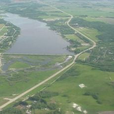
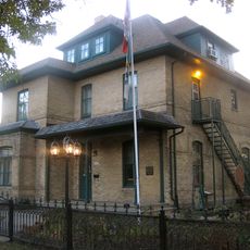
Waywayseecappo First Nation is an indigenous territory in southwestern Manitoba, located near Riding Mountain National Park. The territory has a community center with an arena, a health facility, a food mart, a daycare, and other services for residents.

The territory was established under Treaty 4, which set out land rights between the Canadian government and indigenous peoples. This agreement gave the community a legal basis to develop and govern itself over the following generations.

The name Waywayseecappo comes from the Ojibwe language and means "the light comes out". The community center is a gathering point where residents come together for shared activities and local events.

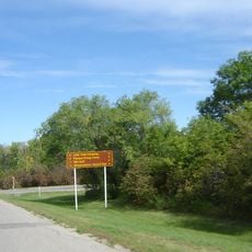
The territory sits along Provincial Highway 45, which makes the main facilities easy to find on arrival. Visitors should contact the community in advance to find out what services or activities are available during their stay.

Since 2014, policing on the territory has been handled by the Manitoba First Nations Police Service, which replaced the RCMP. This change gave the community direct control over its own law enforcement.

The community of curious travelers

AroundUs brings together thousands of curated places, local tips, and hidden gems, enriched daily by 60,000 contributors worldwide.

Start exploring
Location
Division No. 6
GPS coordinates
50.67555,-100.92770
Latest update
March 3, 2026 10:10
Reviews
Share your experience

No review yet

Discussions
Start a discussion...

No discussion yet

« Waywayseecappo First Nation - Indigenous lands in Manitoba, Canada » is provided by Around Us (aroundus.com). Images and texts are derived from Wikimedia project under a Creative Commons license. You are allowed to copy, distribute, and modify copies of this page, under the conditions set by the license, as long as this note is clearly visible.

Discover hidden gems everywhere you go!

From secret cafés to breathtaking viewpoints, skip the crowded tourist spots and find places that match your style. Our app makes it easy with voice search, smart filtering, route optimization, and insider tips from travelers worldwide. Download now for the complete mobile experience.

Around Us App Screenshot

A unique approach to discovering new places

Le Figaro

All the places worth exploring

France Info

A tailor-made excursion in just a few clicks

20 Minutes

Around Us
Travel Guide & Maps
Download

Send to your phone

QR Code
1

Open the camera app on your mobile.

2

Point at the QR code with your camera. A notification will appear.

3

Tap the notification to open the link.