Ticino, Alpine river between Switzerland and Northern Italy
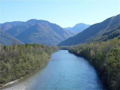
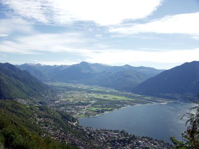
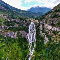
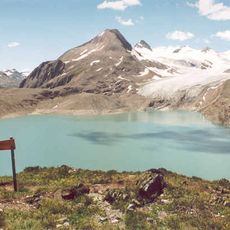
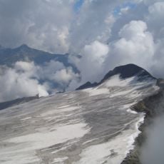
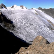
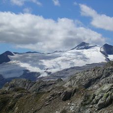
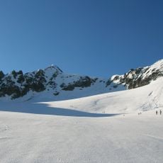
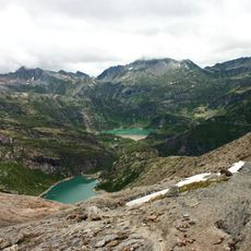
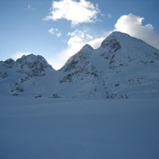
The Ticino rises above 2400 meters (7800 feet) at Nufenen Pass and flows south through the Leventina Valley before feeding Lake Maggiore and then entering the Lombardy plain. After roughly 248 kilometers (154 miles), it joins the Po west of Pavia, linking alpine meltwater with the great northern Italian river system.
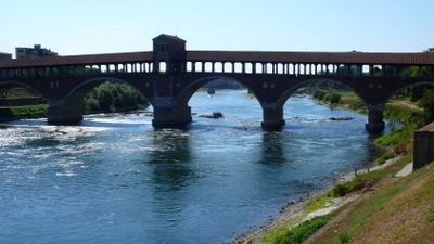
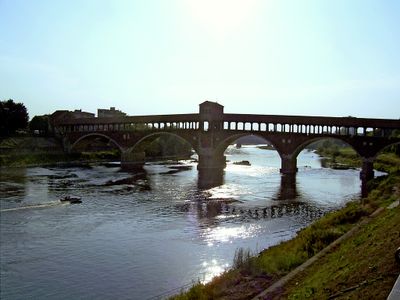
In 218 BCE, Hannibal defeated a Roman army along the stream near present-day Pavia shortly after crossing the Alps with his elephants. Later, the waterway formed a natural boundary between various duchies and cantons for centuries, shaping the development of surrounding settlements.
The riverbanks between Magadino and the lake served for centuries as a trade route for salt and silk transported by Lombard merchants. Several towns along the water still preserve narrow stone boat landings once used for cargo barges.
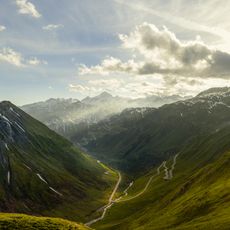
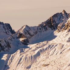
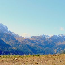
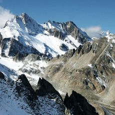
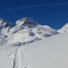
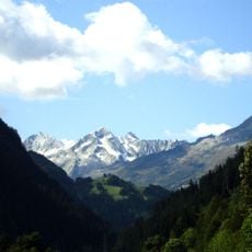
Most footbridges and riverside paths lie in the lower sections between the lake and Pavia, where the terrain becomes flatter and walking along the embankments is easier. The upper course through the Leventina Valley remains steep and often visible only from hiking trails that wind above the gorges through the mountains.
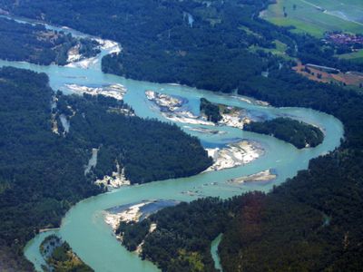
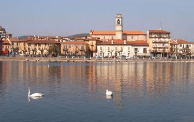
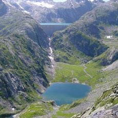
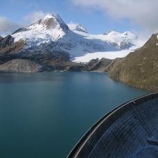
The stream forms the main water inflow to Lake Maggiore, contributing more volume than all other tributaries combined. Its delta at the northern end of the lake creates a shallow marshy area that draws thousands of migratory birds traveling between northern Europe and Africa.
The community of curious travelers
AroundUs brings together thousands of curated places, local tips, and hidden gems, enriched daily by 60,000 contributors worldwide.