Mount Pilatus, Mountain peak system in Central Switzerland
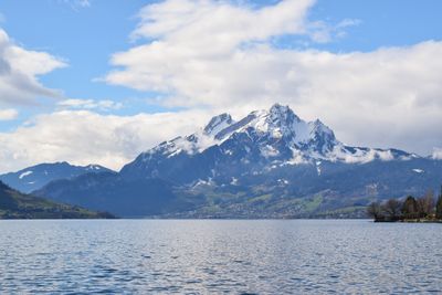
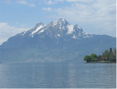
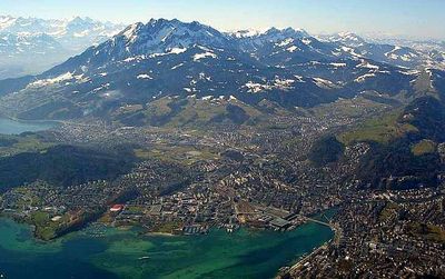
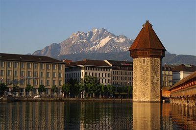
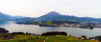
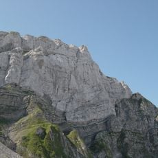
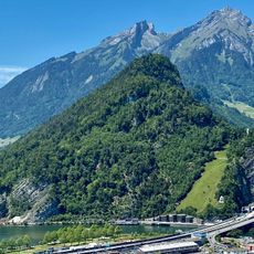
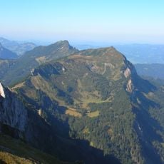
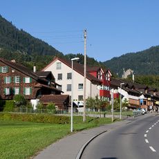
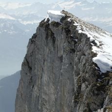
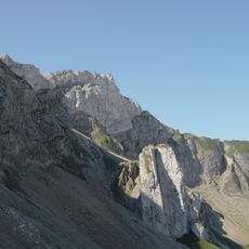
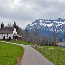
Mount Pilatus is a mountain range in Central Switzerland spanning three cantons with multiple summits, the highest being Tomlishorn at 2,128 meters. The range features several rocky peaks visible from many directions and forms a defining part of the regional landscape.
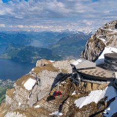
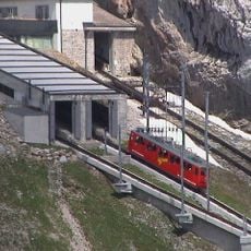
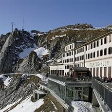
A cogwheel railway opened in 1889 featuring one of the world's steepest gradients at about 48 degrees. This engineering achievement made the summit accessible to many people for the first time.
Local legends tie the mountain's name to Pontius Pilate, though it may also derive from the Latin word 'pileatus' meaning cloud-covered. These stories remain part of how people understand and speak about this place.
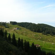
Four routes lead to the summit: hiking trails, cable cars from Kriens, the cogwheel train from Alpnachstad, or the Golden Round Trip combination. Choose based on your fitness level and available time, as the routes have different demands.
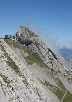
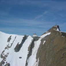
The summit houses radar installations for the Swiss FLORAKO air surveillance system and weather monitoring stations closed to public access. These technical facilities represent an unseen aspect of modern operations at this well-known location.
The community of curious travelers
AroundUs brings together thousands of curated places, local tips, and hidden gems, enriched daily by 60,000 contributors worldwide.